


**EXTRA COURTESY REQUESTED**
Rangihau Rd is not maintained by the council, but the local landowners.
The recent popularity of canyoning in the Rangihau valley has led to a significant increase in vehicle traffic, and locals who maintain the road are concerned about damage to the road.
Please drive slowly and carefully, and avoid using the road during/after rain.
It is vital to keep a good relationship with the landowners (who pay for road maintenance) If we ruin a relationship, then the access might remain closed permanently.
Please inform your friends and canyoning buddies and watch this space for updates:
Dan Clearwater NZCA President & Brad Schimanski NZCA Local area rep
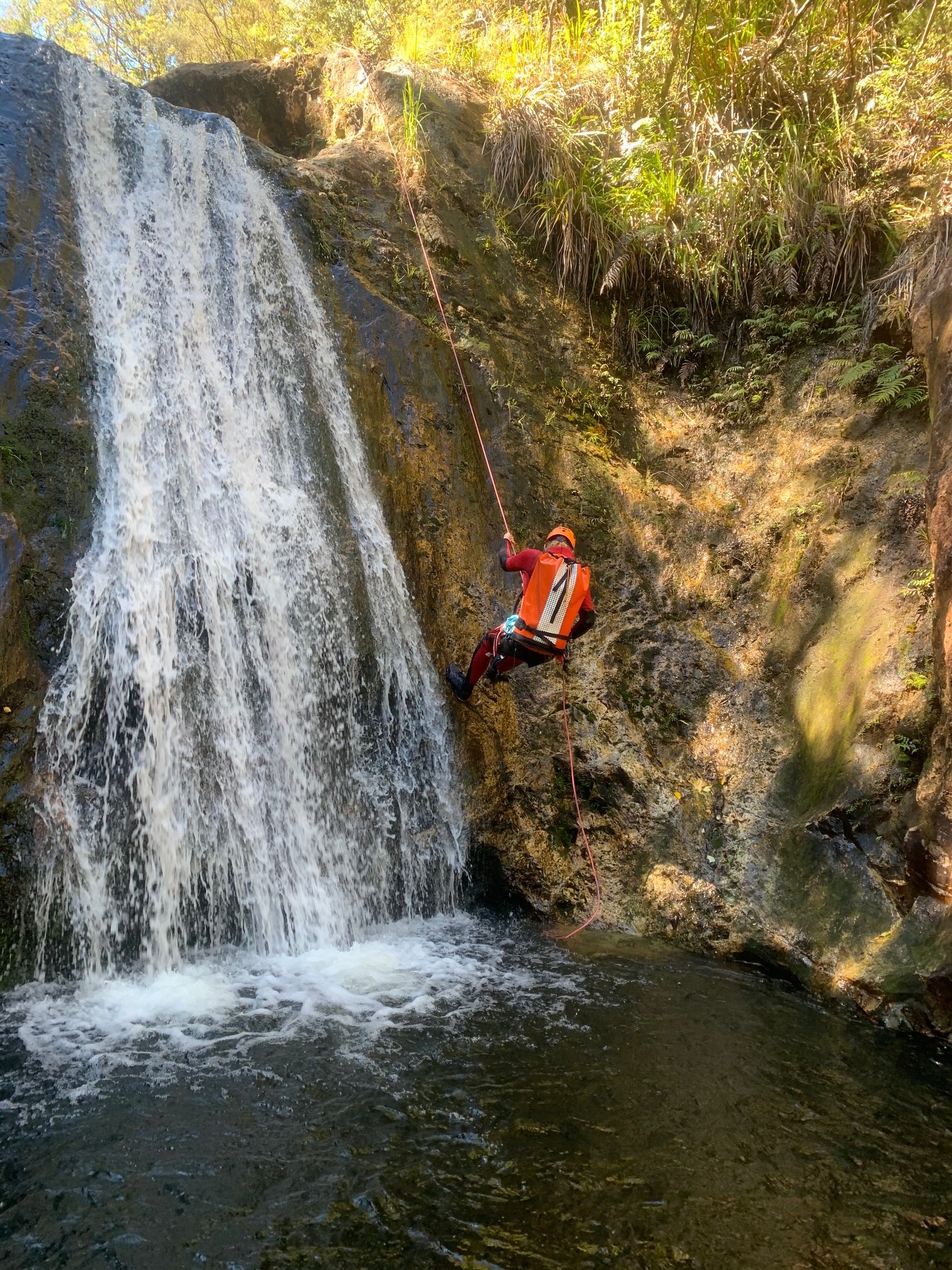
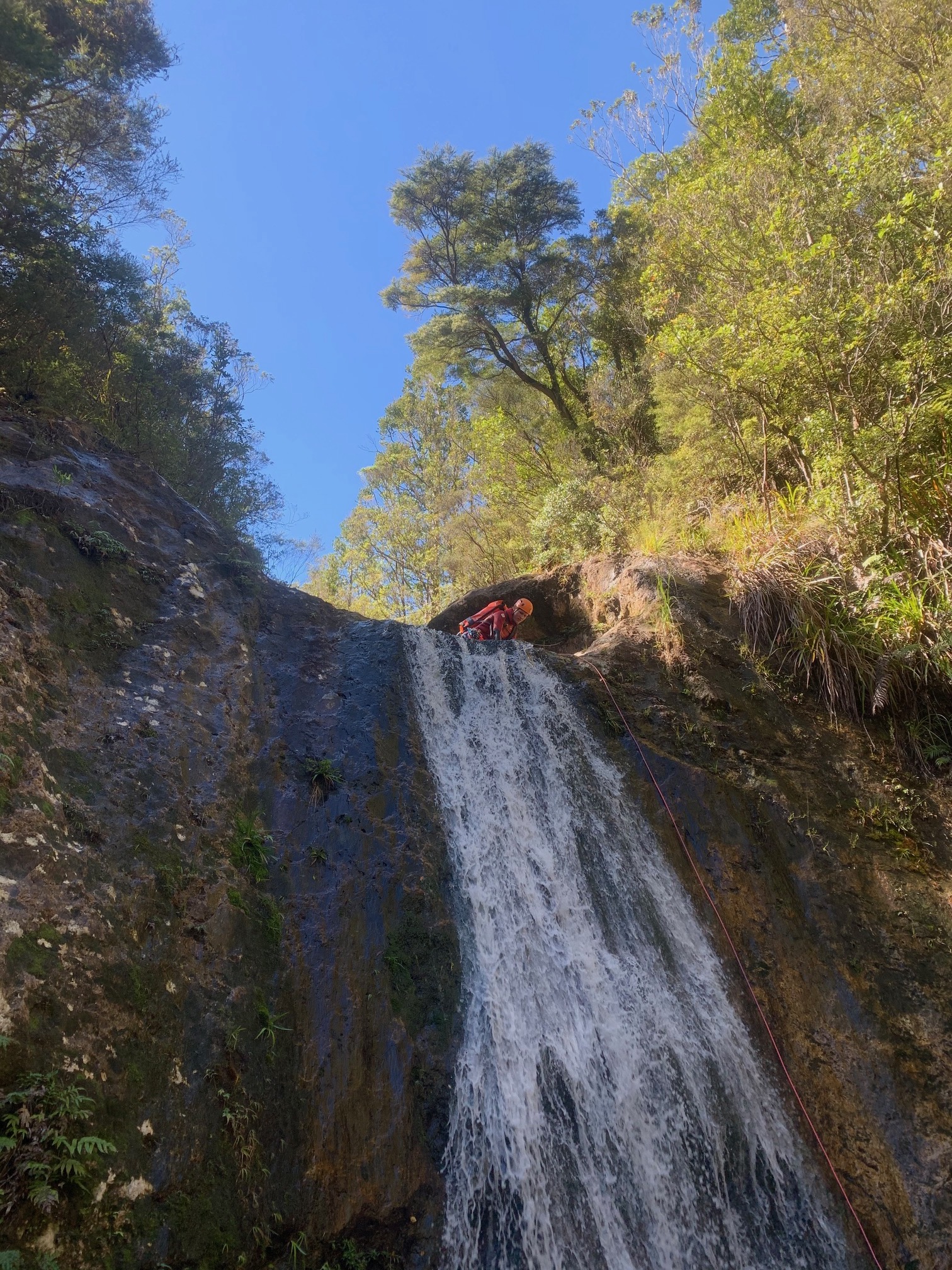
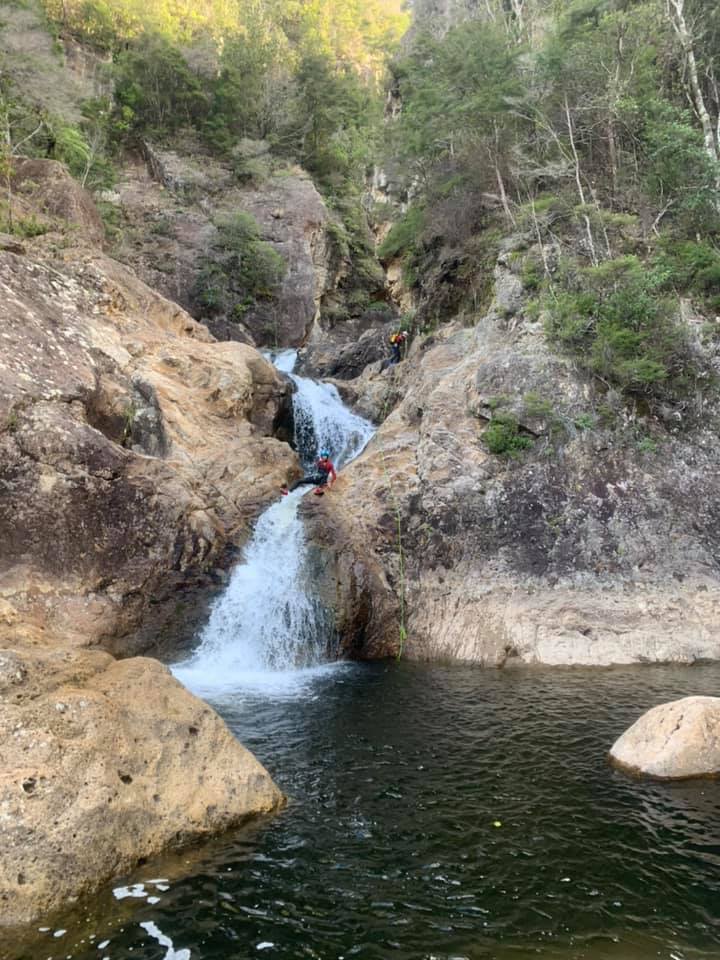
33m max pitch
6hrs round trip
Public access
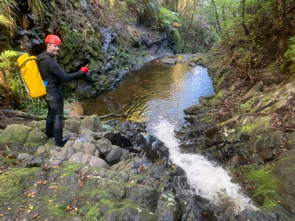
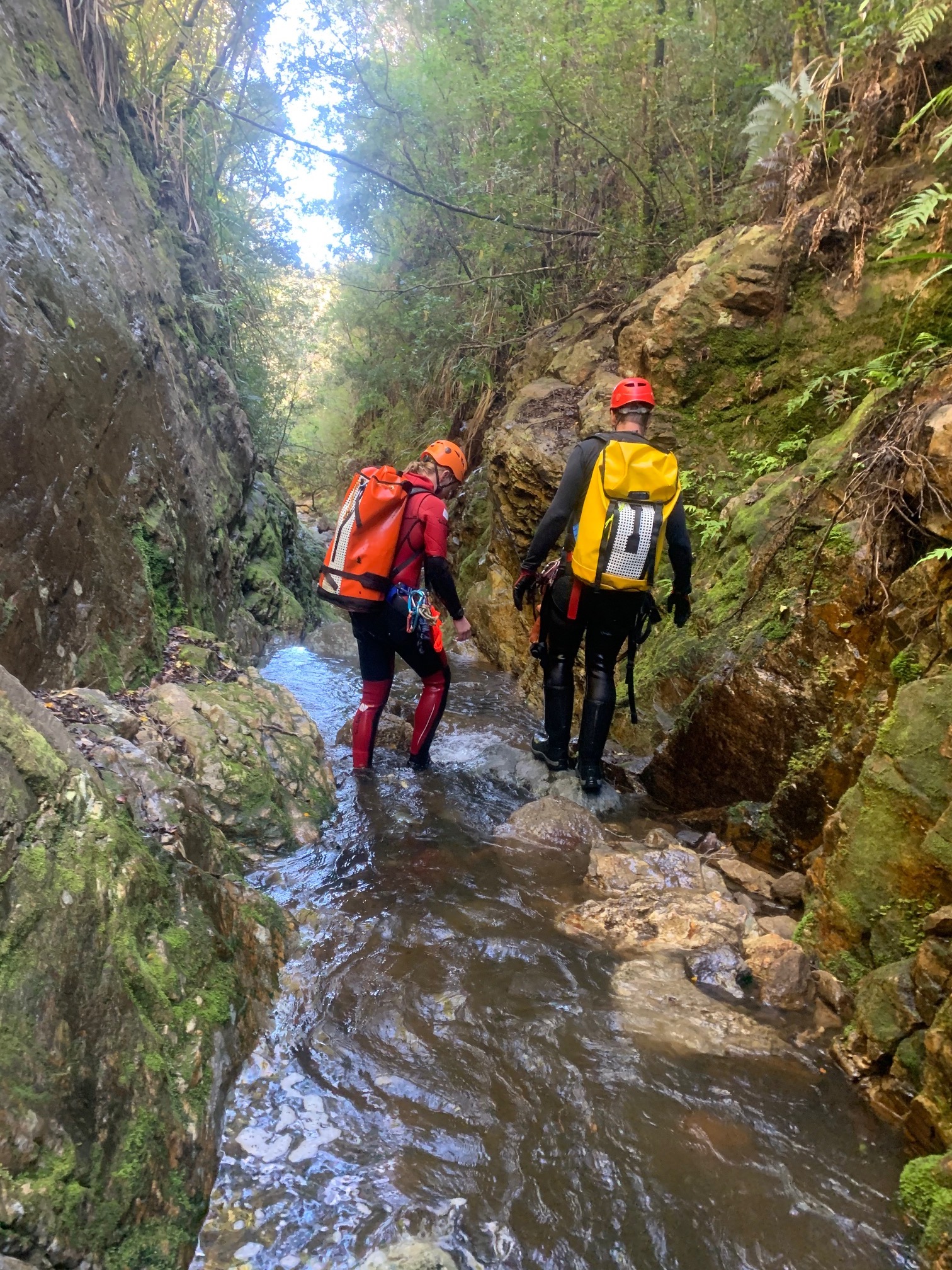
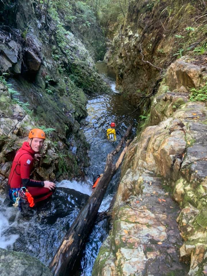
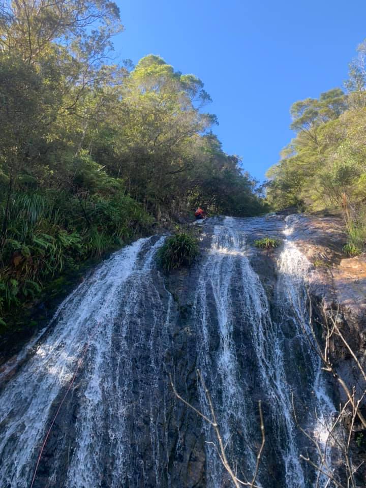
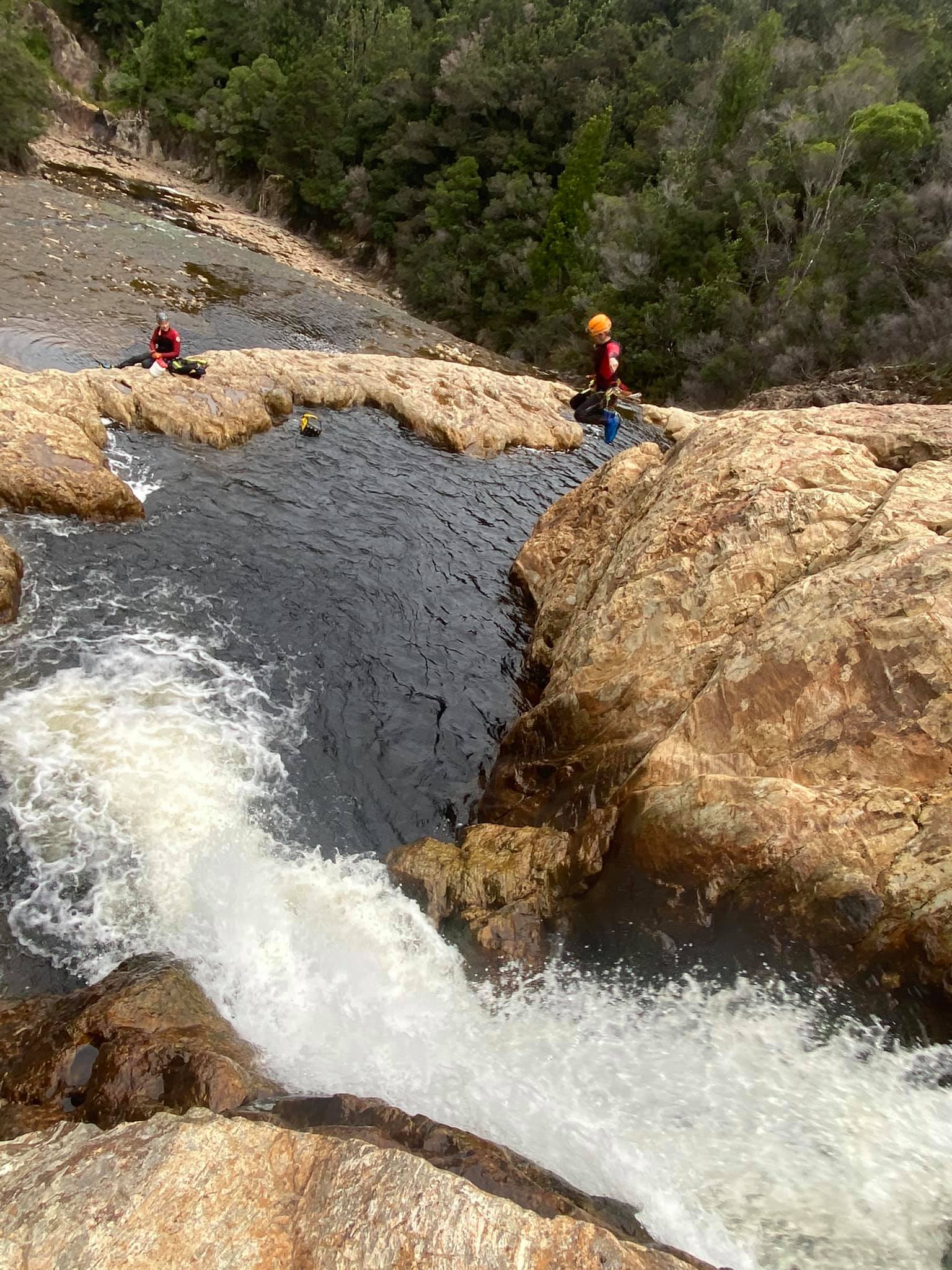
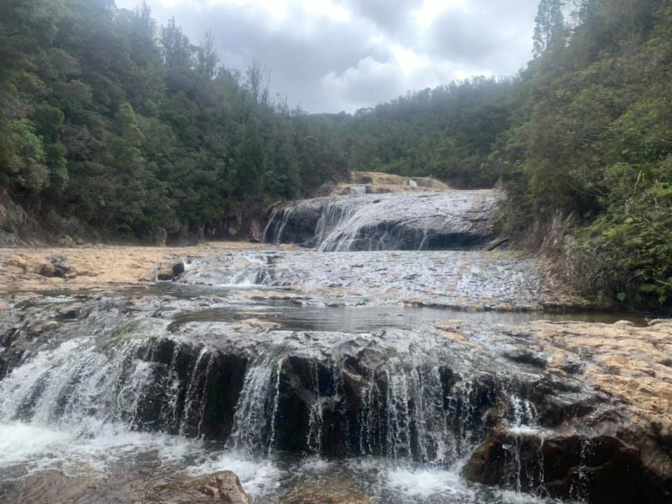
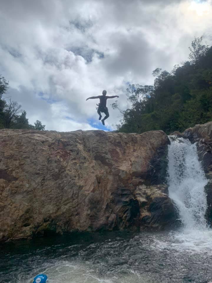
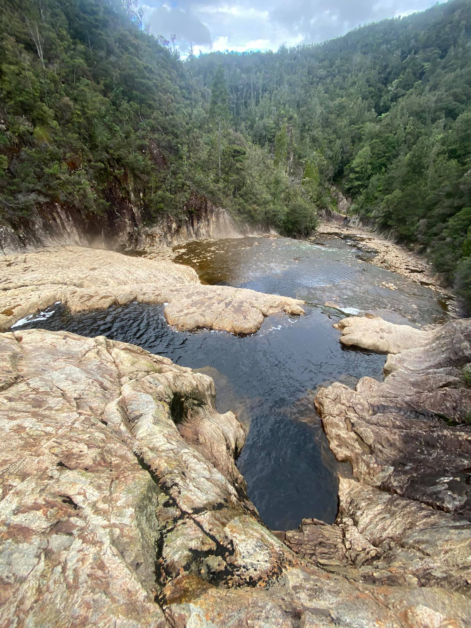
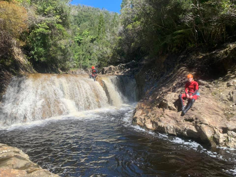
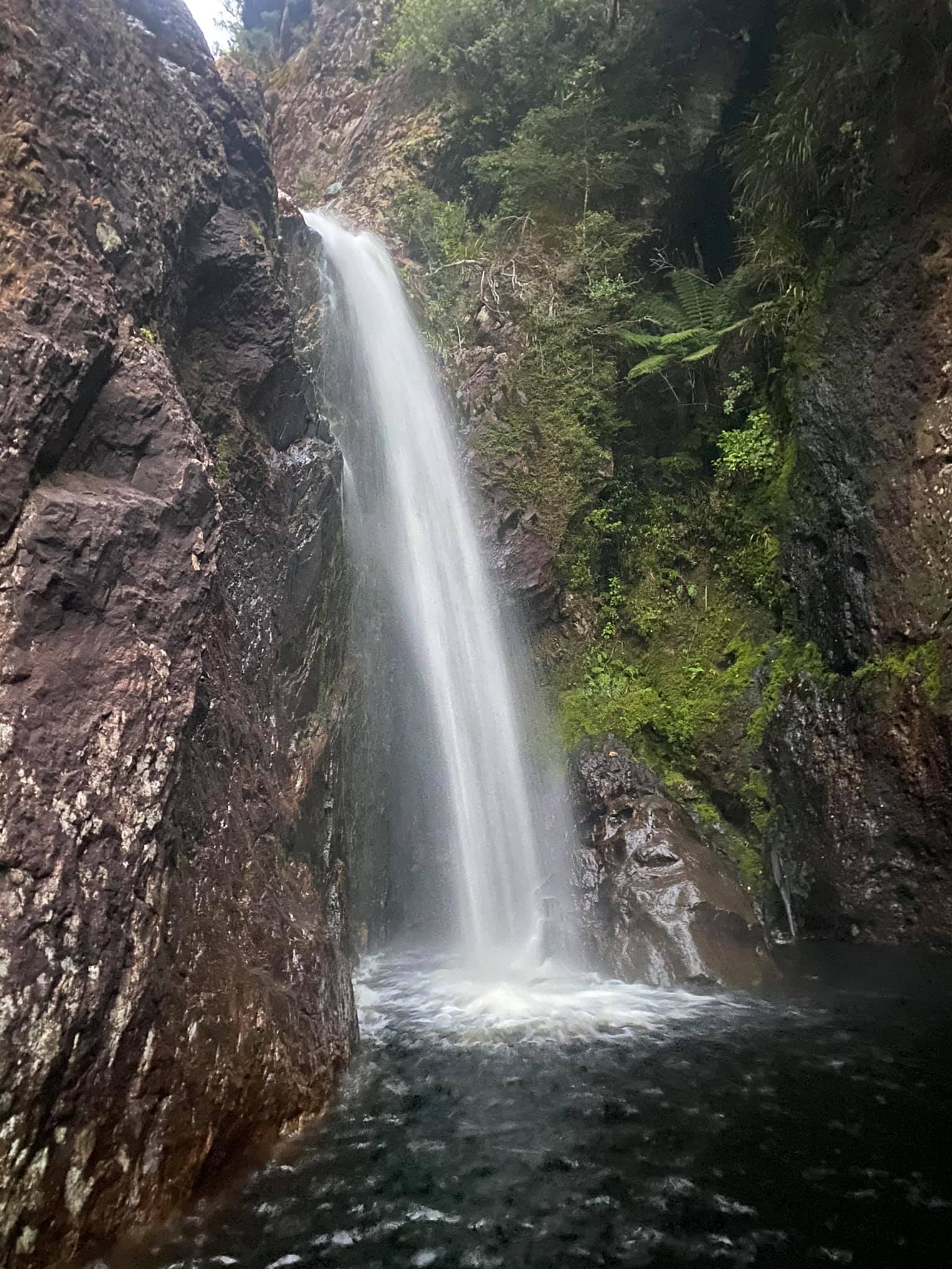
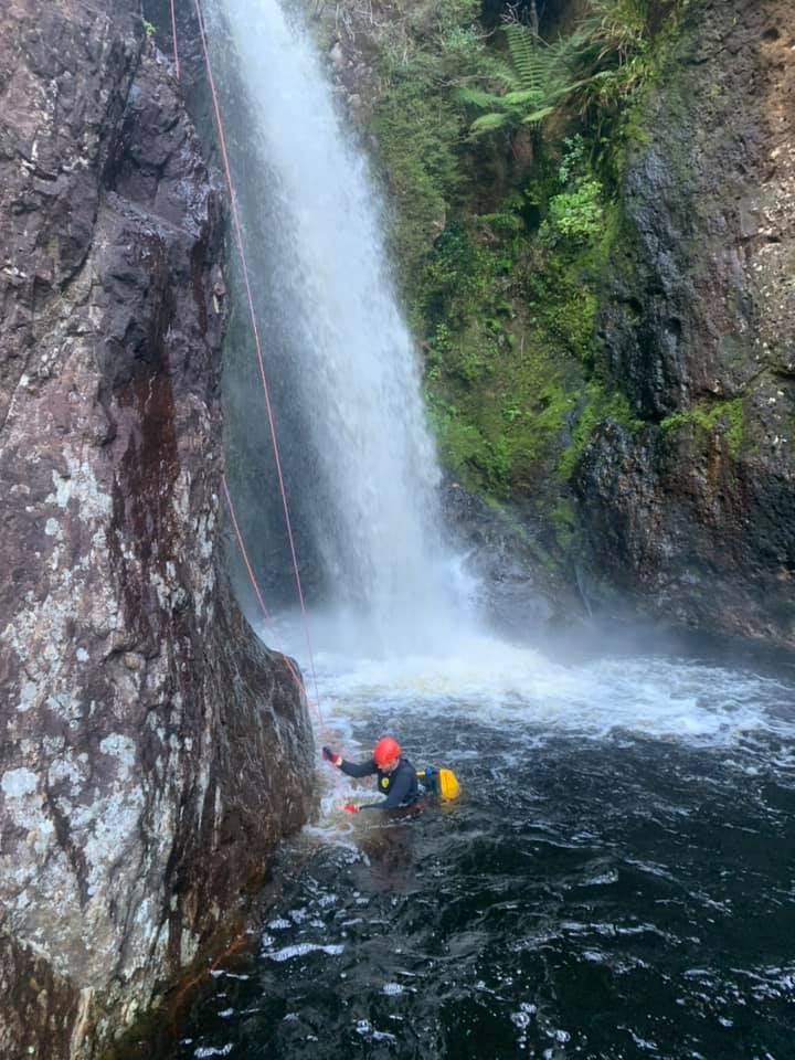
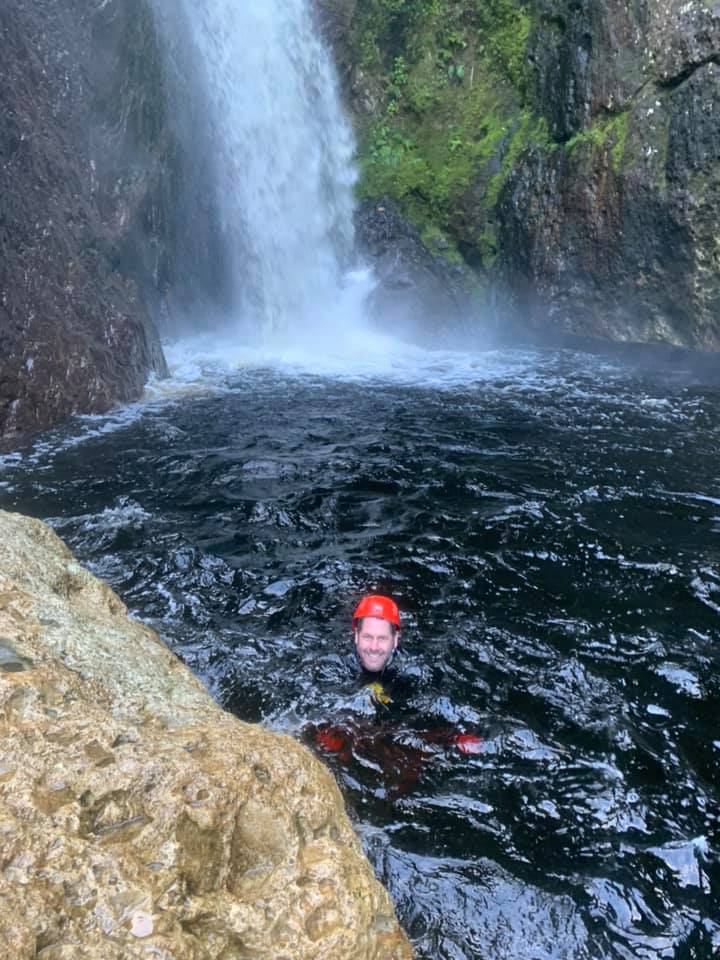
Tricky to do these streams separately, they combine to an awesome day out. The Bulls Run gets better the further down you go, until you meet the Rangihau Gorge. With it’s three gargantuan 25m wide waterfalls and deep jump pools, the gorge itself is amazing. There is even a rock arch to dive through in one of the pools!
The Rangihau has a very large catchment and a committing section: not a place to be in high flows or when rain is forecast.
First Descent/James Judd, James Mclean, Sach Knight, David Meikle, Pete Smith 2/4/21
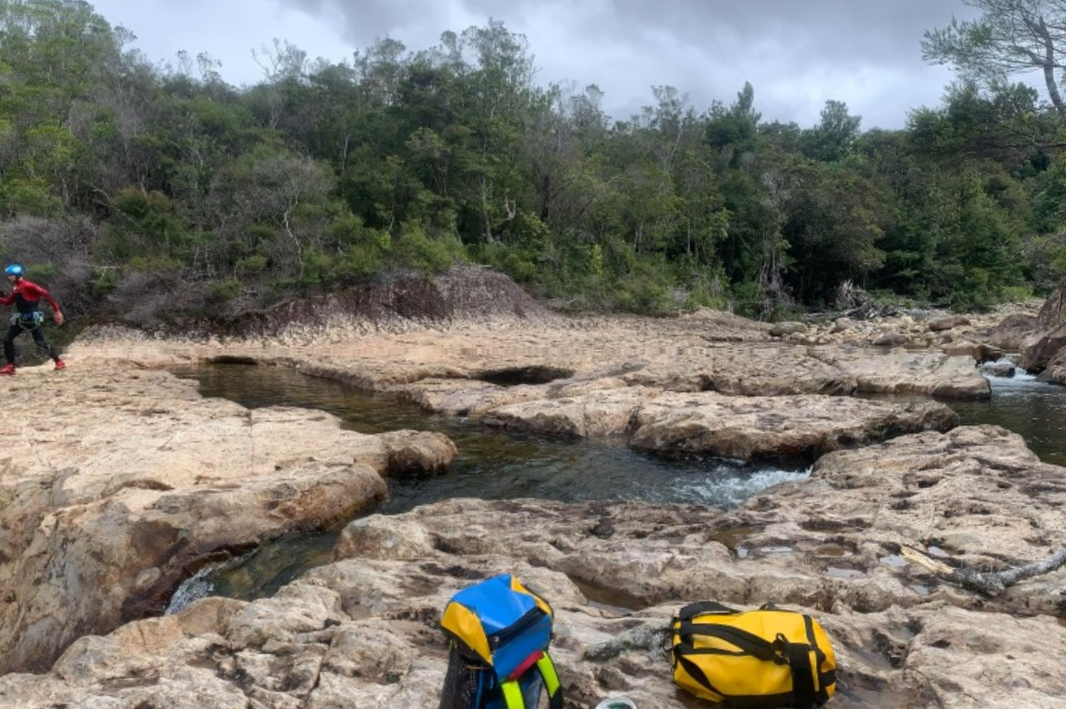
Bulls Run Canyon v3a2II* photos
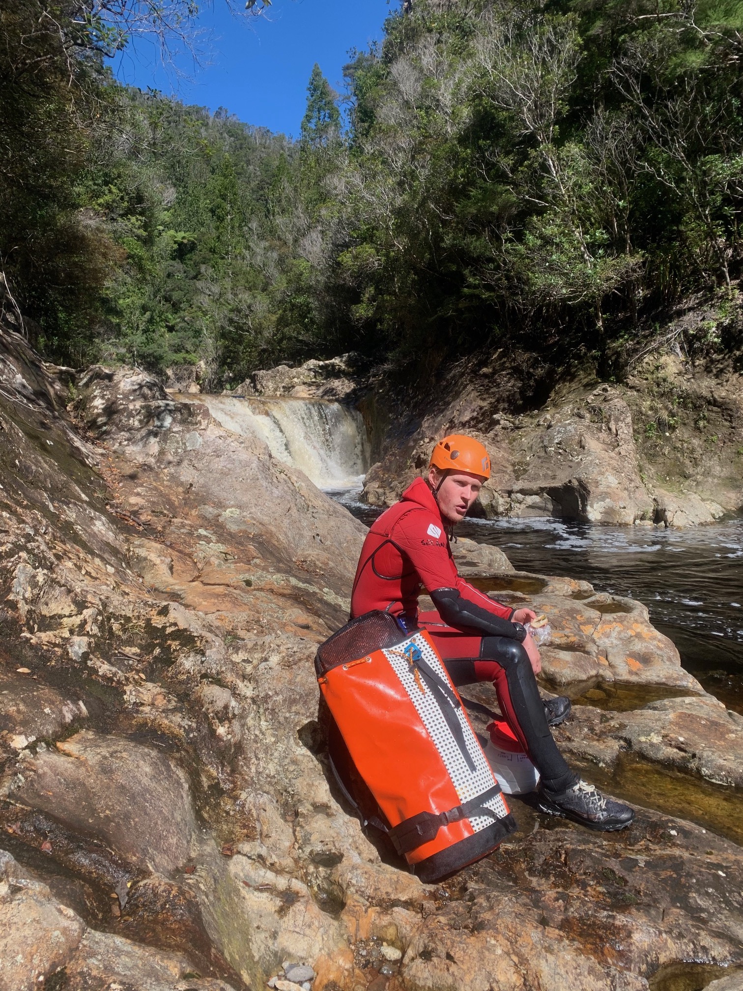
Lower Rangihau Gorge v3a3II** photos
The first few images are ‘the Terraces’ which you enjoy by ascending the Rangihau after arriving from Bulls Run. The rest of the images are the Lower Rangihau, below where Bulls Run enters.

Great day out. Was pretty slippery on the decents. Was a nube taken by two experienced friends Michael and Ant. Wasn’t too cold wearing 7mm dive wetsuits. Extended me outside my comfort levels in terms of heights 🙂
Entry track as per description bellow, anchors good, spent a few hours at the terraces.
Great trip, well worth doing a few times. Found the entry point this time – the text instructions on the topo are correct – look for the exit on the outside of the corner at the 380m line just before the track cuts under the power lines and back. The map on the topo is a little unclear and can be read as leaving at the 420 line after crossing under the lines but it’s at the orange tape around 380m