


Note: Be careful about the names of canyons in this area!
This page refers to the stream labelled “Twin Creek” on the Topo50 map.
The next stream to the north is is labelled “Upper Twin Ck” on the Topo50 map, but is known as Temple Col Canyon.
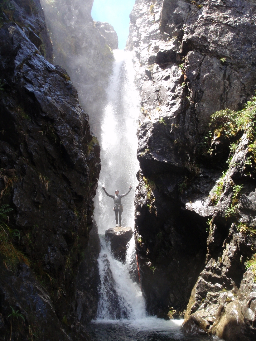
Highest drops
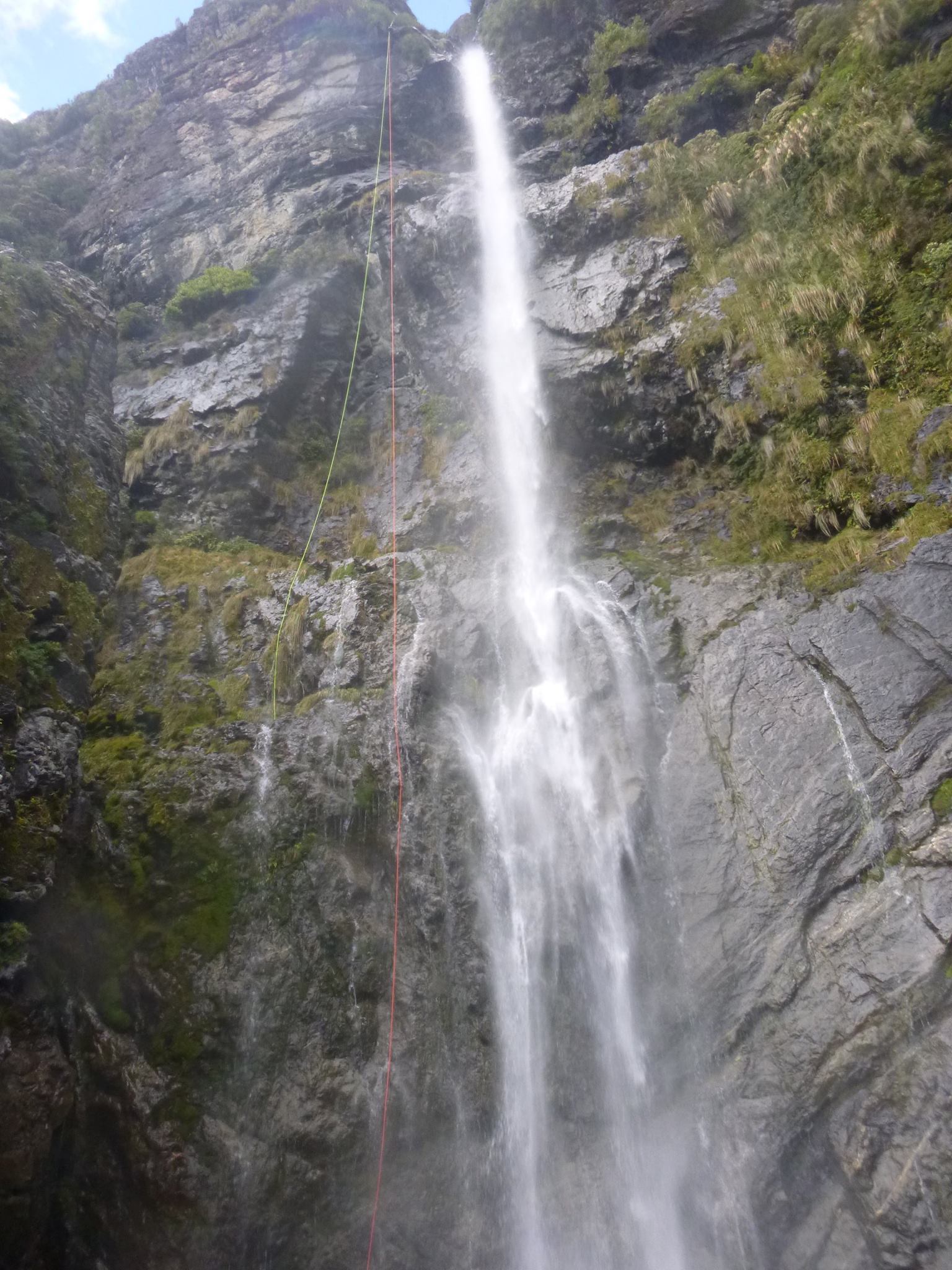
- Top 35m
- Middle 40m
- Lower 70m (55m + 20m pitches)
Up to 6.5hrs
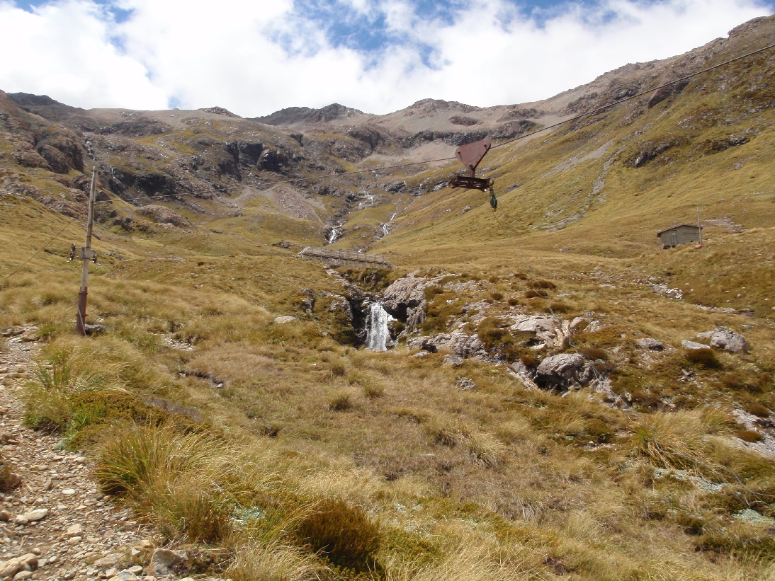
Public access
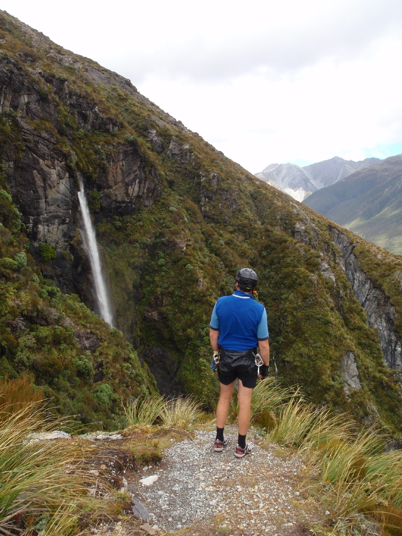
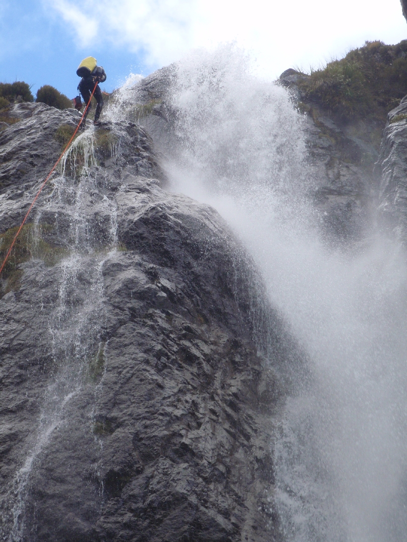
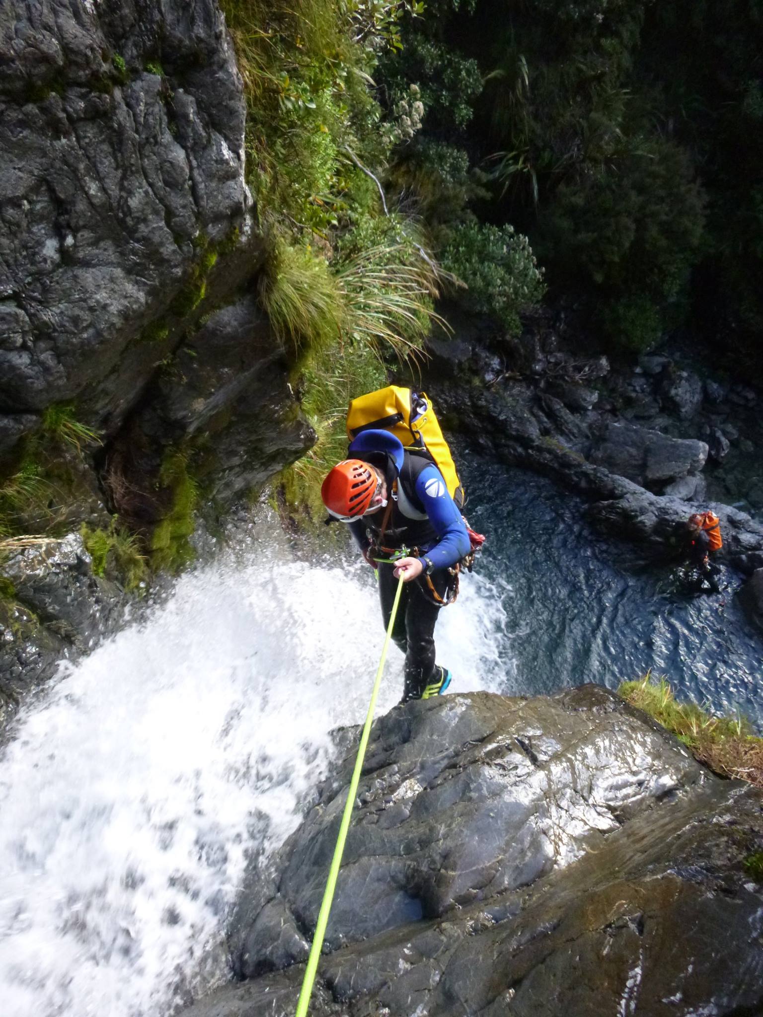
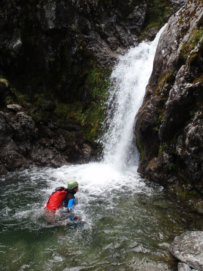
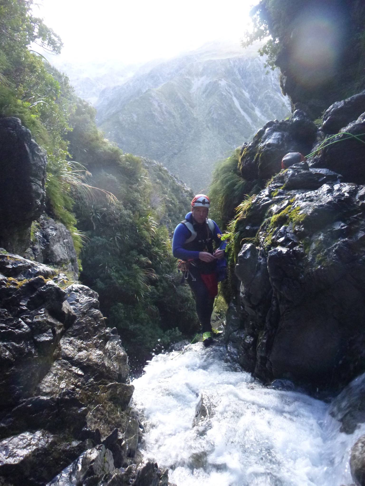
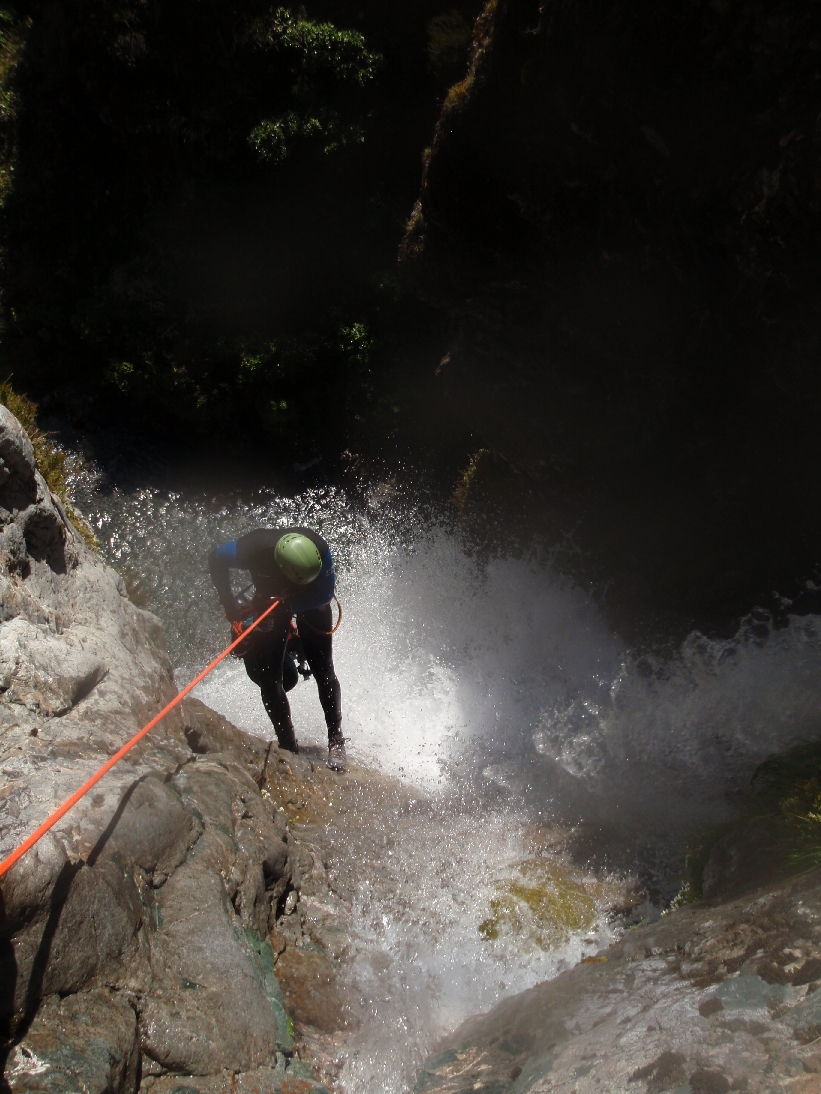
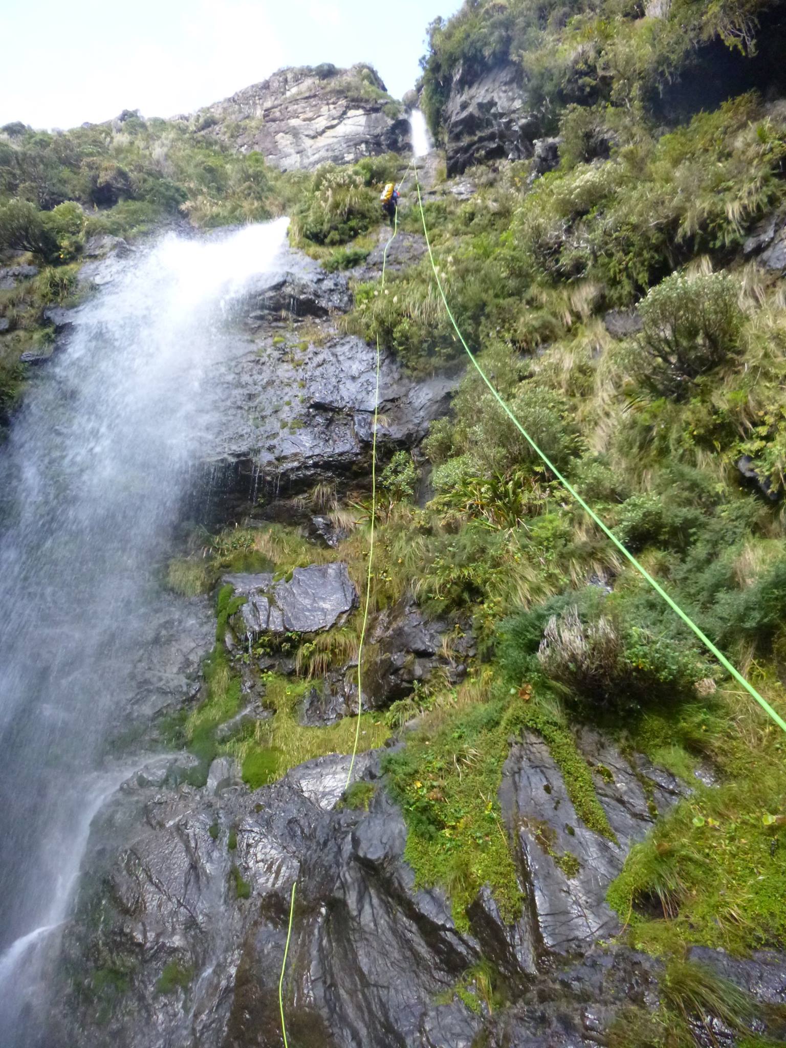
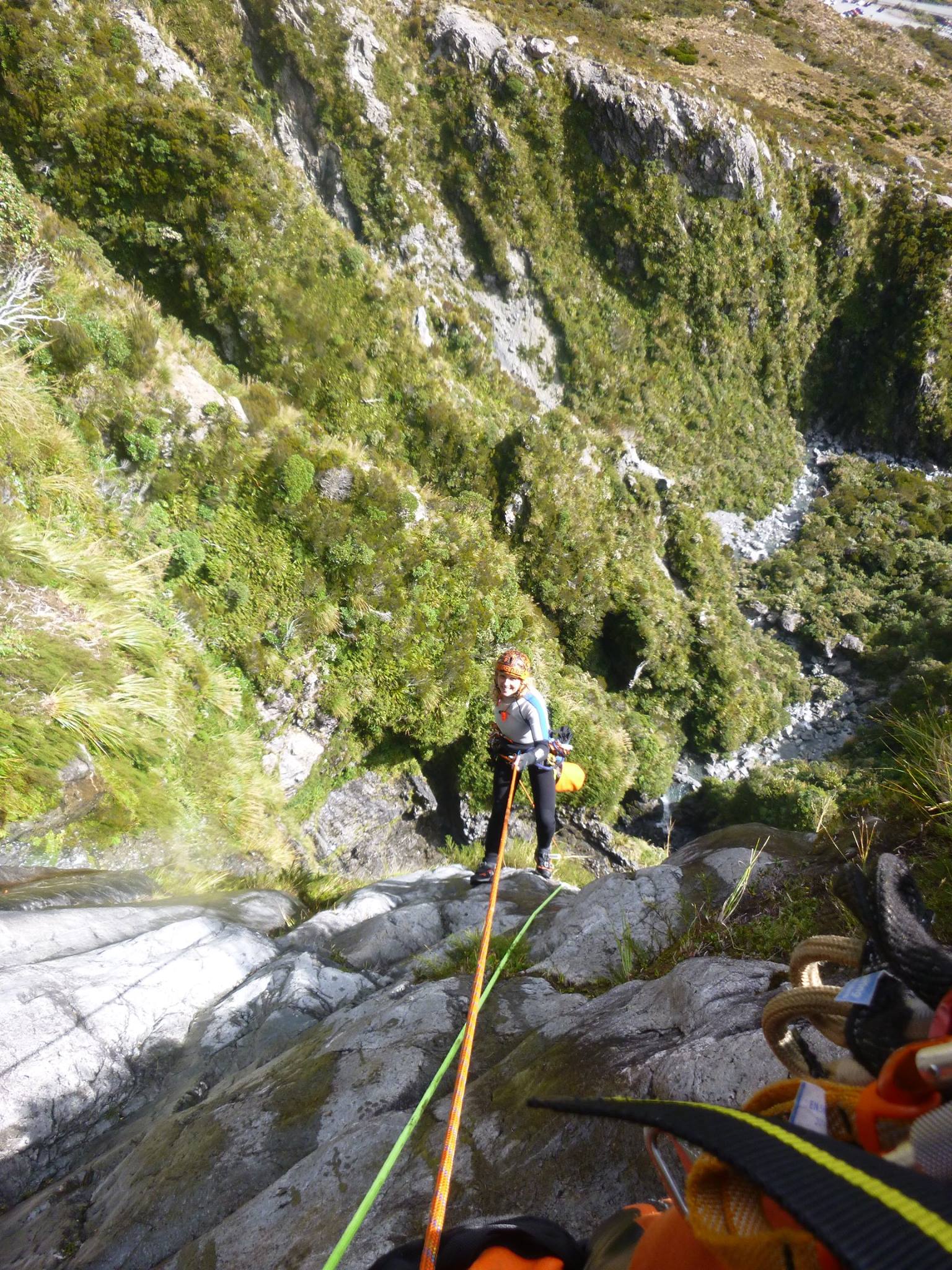
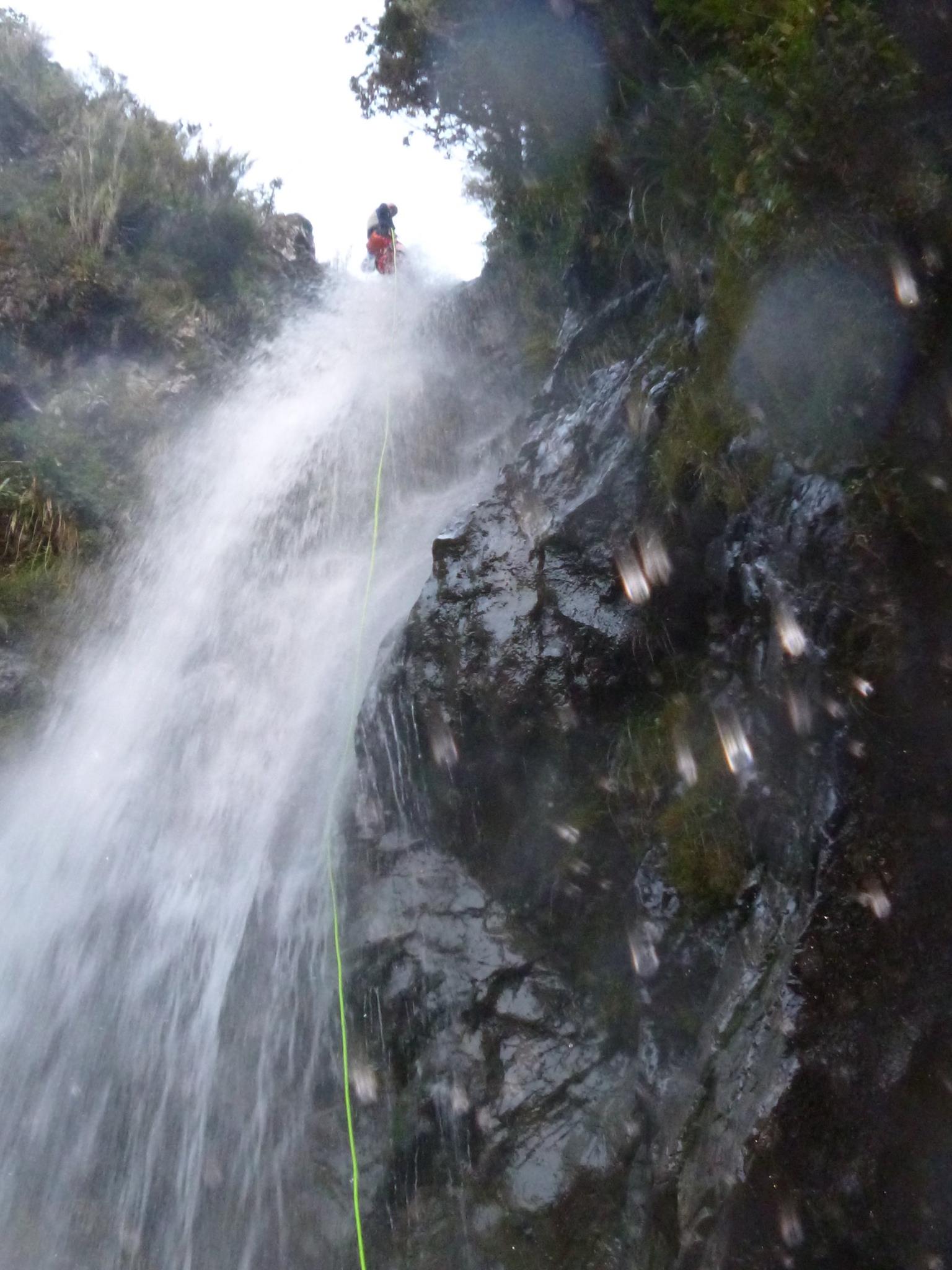
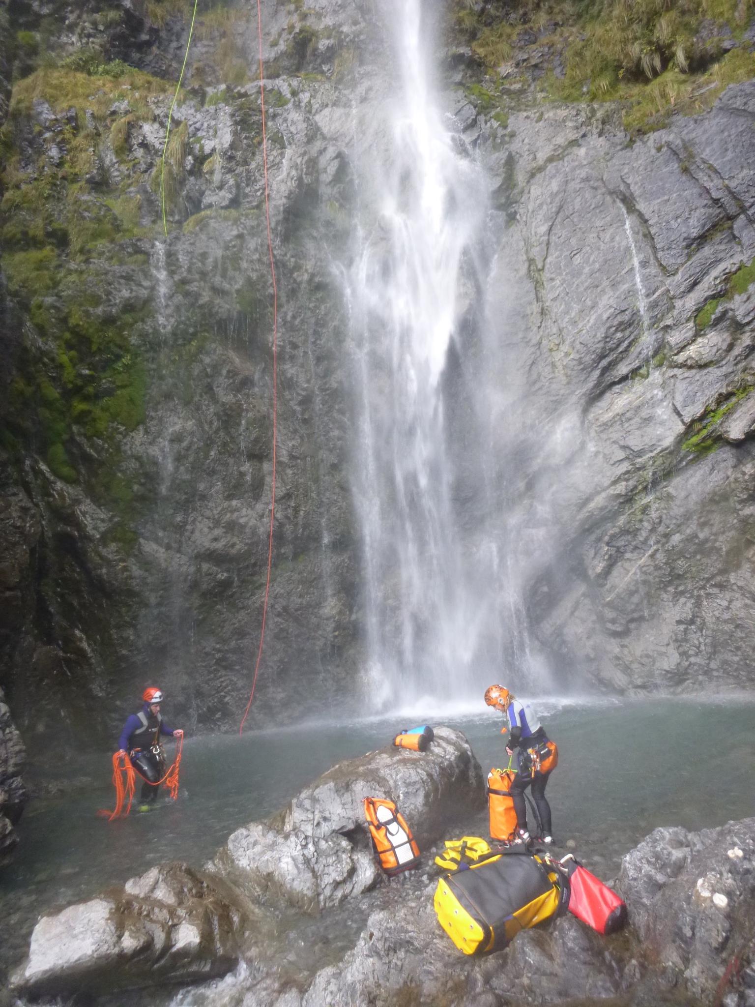
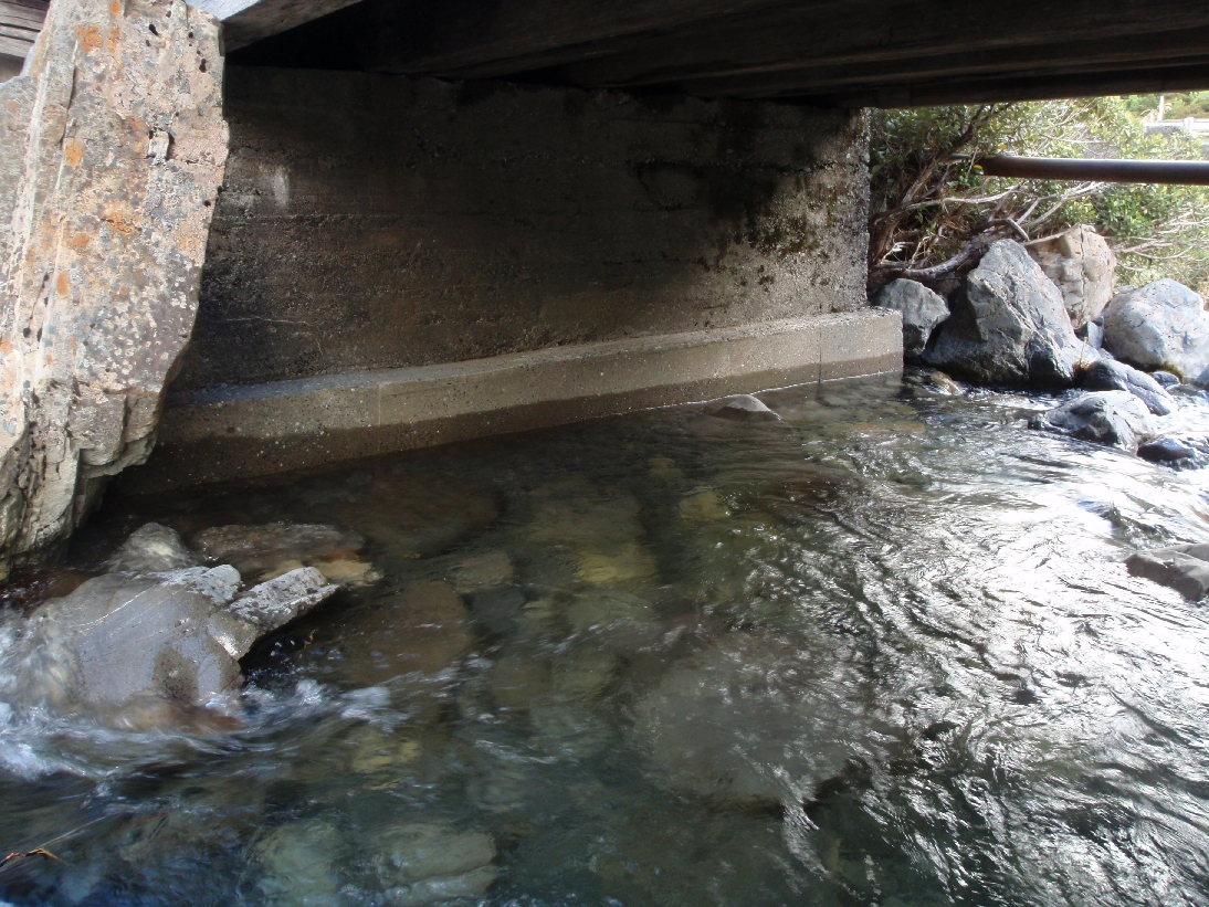
The top and middle sections of Twin Creek (V4) are reasonably straightforward alpine descents, with well-bolted anchors, good access and plenty of escapes. However, as some rappels are straight through the water, it is not suitable for less experienced canyoners in higher than normal flows. The top and middle sections combined are an excellent trip in their own right with 11 pitches.
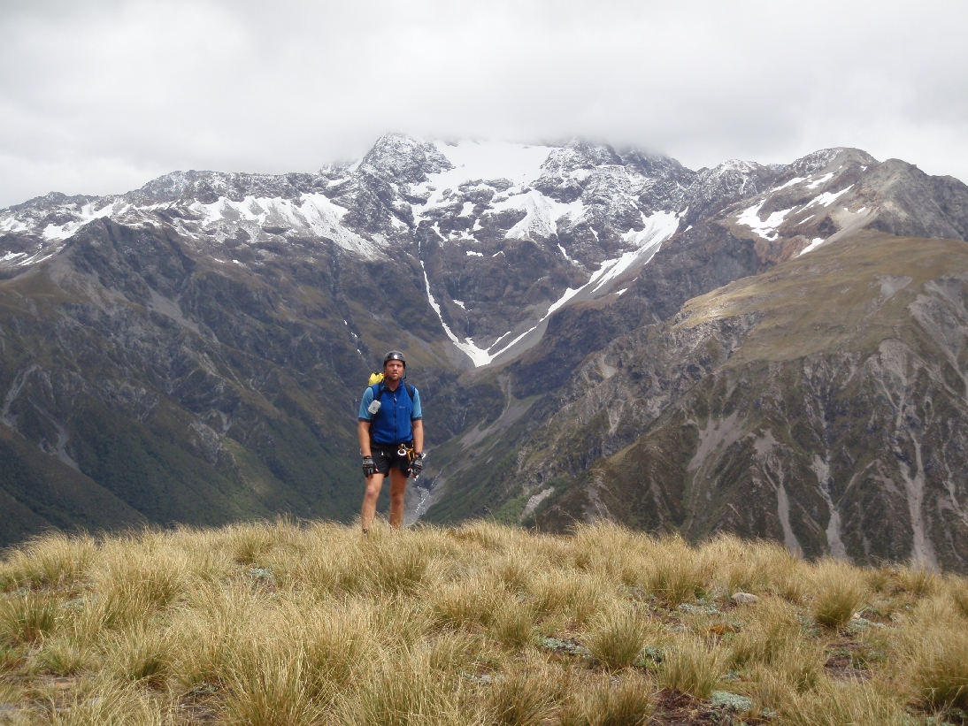
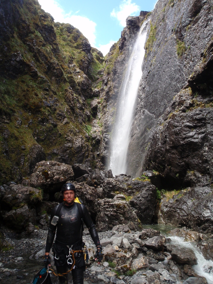
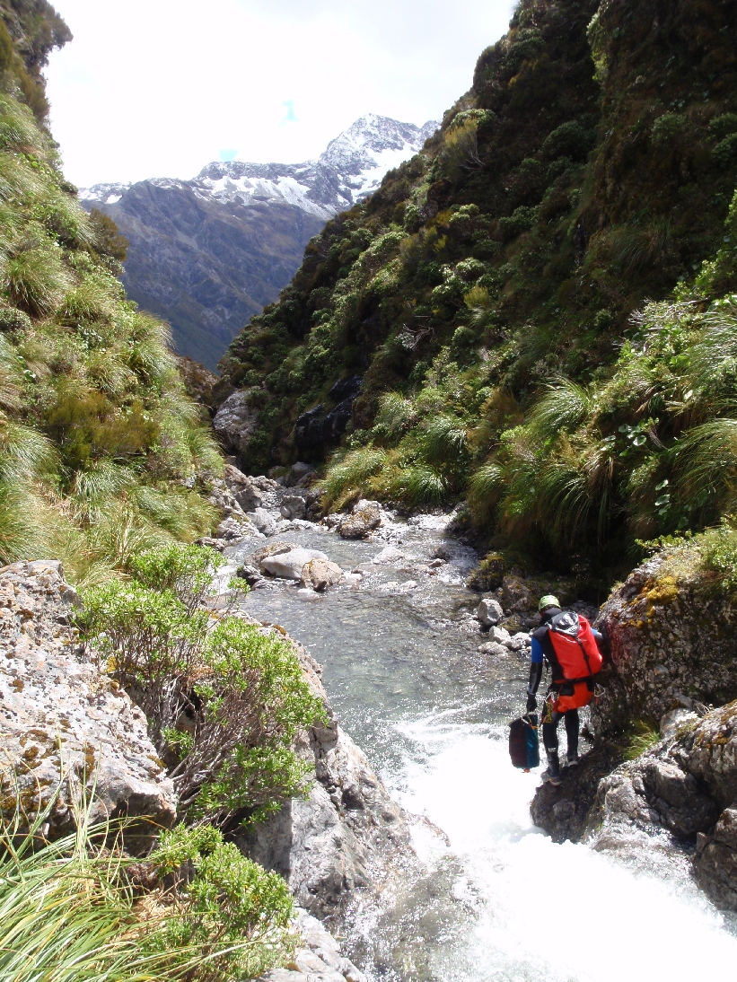
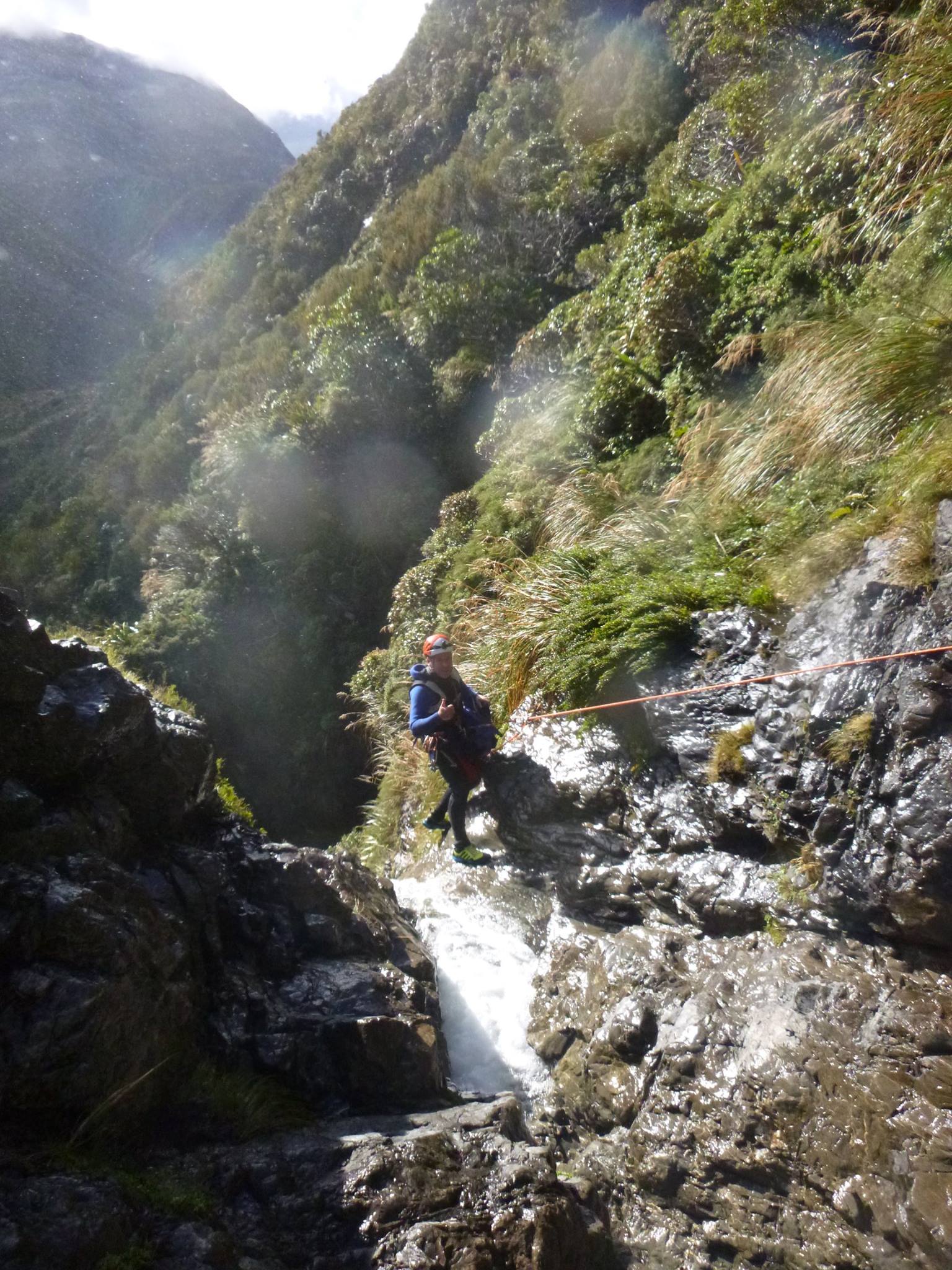
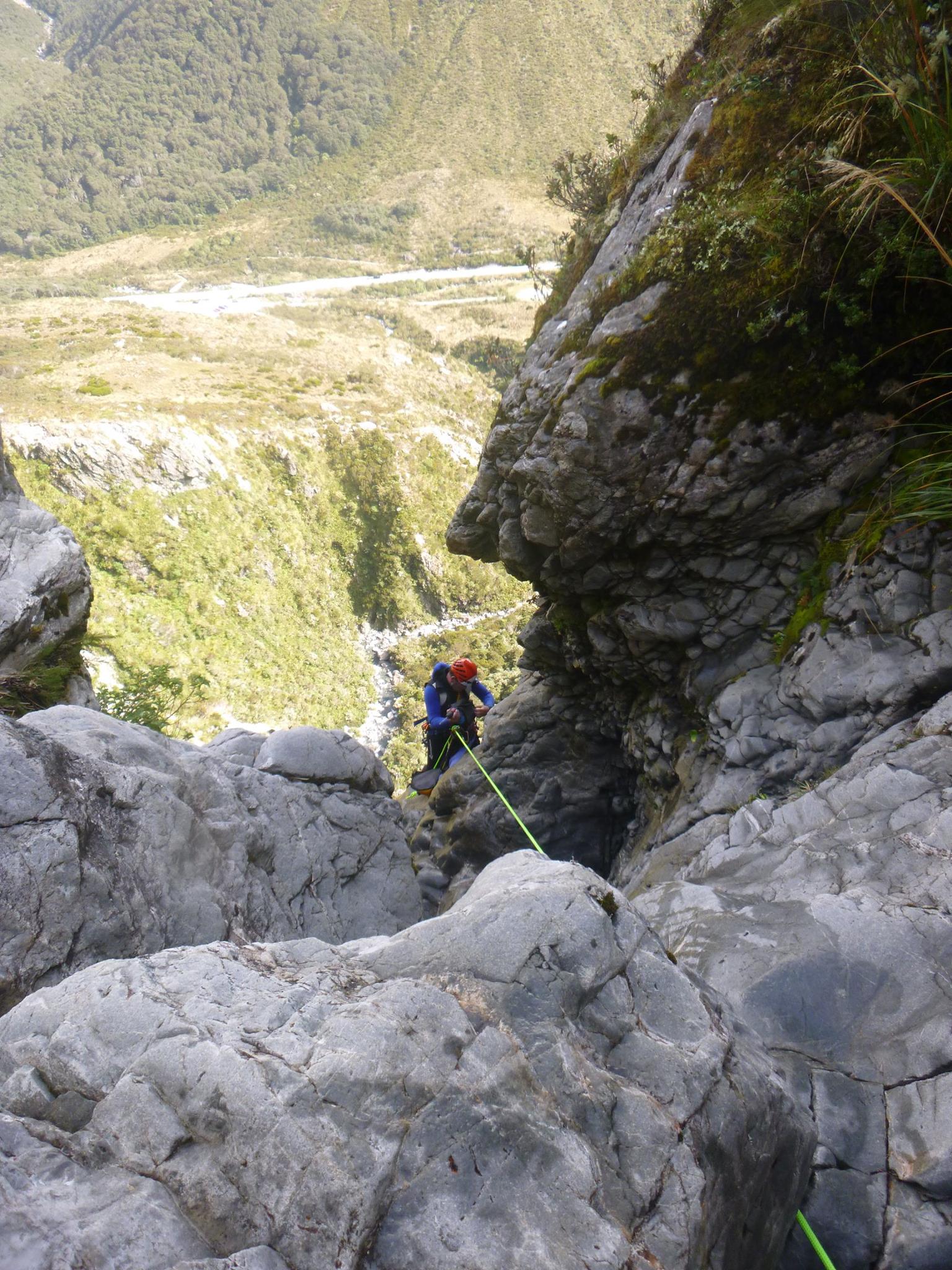
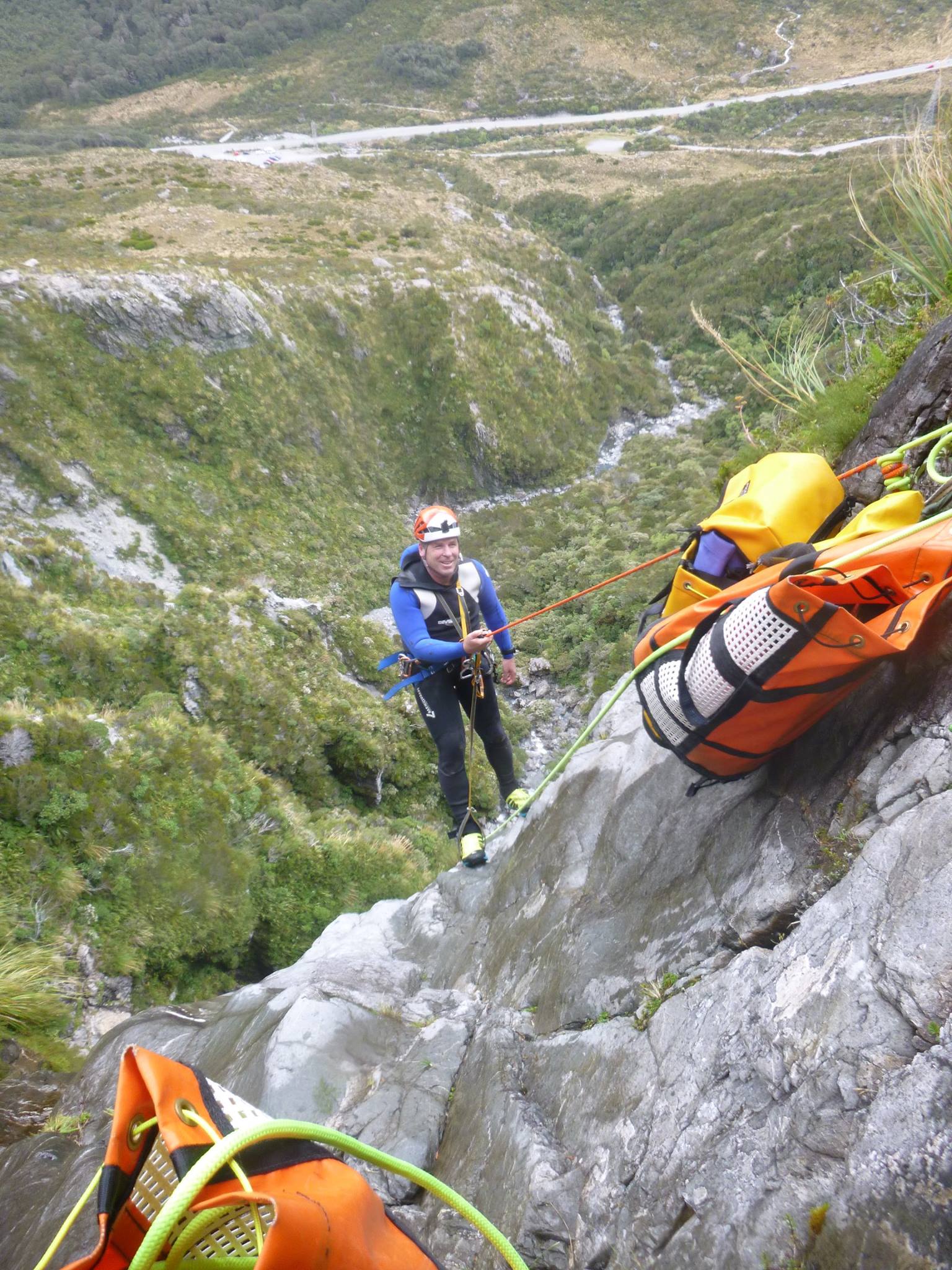
The lower section of twin creek (V5) is steep and inescapable for the first five drops. Recommended for experienced canyoners with the capability to undertake multi-pitch rigging on hanging anchor stations. The canyon gets the afternoon sun and enjoys excellent views of Mt Rolleston during the descent, making it an enjoyable day out.
First descent Top section by Grant Prattley, Nola Collie and James Abbott Apr 2016.
Middle and Lower Section ‘Swampy’ Marsh, in the 2000’s. Set up for a commercial canyoning operation.
Download the CanyonTopo for Twin Creek, Arthurs Pass – By Grant Prattley
Photos by Nola Collie, Grant Prattley, Dan Clearwater and Ira Lewis


Recent snowfall. Icicles and riming down to around 1200m but water wasn’t too cold. Rap 13 is epic in the sun! Very light winds, blue skies, view of fresh snow on Rollestpn. Great start to anzac weekend.
We did it in miserable, cold weather, and considered bailing, but I’m glad we didn’t! Very pleasant canyon.
Full descent in nice clear conditions. Water was unusually cold. Massive floods have occured in Arthurs Pass and lots of gravel has moved down Twin Creek. R9 anchor station was missing a nut and was repaired. R14 single bolt (TR) to access anchor for TR 35m had been sheared off. Used the TL anchor to run handline into the R14 TR bolts. Be prepared to repair anchors on any trip in Arthurs Pass
Good fun! Ran all 3 sections from the very top, with one party member bypassing the lower section due to knee injury. Managed to core shot a rope on 67m pitch. Recommend bleeding during descents (not just in-between). Had a beautiful sunny day out with a stella team!
Did the top and middle sections the day after some rain as a group of two. All went okay and lots of fun. Lost an ascender. Went back the next day and did the middle and lower sections. Found the ascender! Flow had decreased. Would recommend being lowered at R12 to access the R13a anchors and then setting a hand line. Did the whole R13 rappel with two 65m ropes and had just enough to gently slide off the end into the shallow pool. Very scenic and cool rappel! However, got the rope stuck on the 20m rocky ledge when pulling. Ended up ascending the stuck rope and rappelling R13b. Would recommend at least the last person down stop at R13b and rig there to avoid a stuck rope. Rest of canyon was fun too and had some strong vertical flow sections.
Fun canyon. Very cold day, water was cold, wind was gusting, still fun just mild hypothermia fun. We didn’t check or do any jumps or slides. Started raining hard later in the day, was sprinkling all day. Flow increased marginally by the end of the day with heavy rain, but not enough to cause problems.