| General area: | Mt Peel |
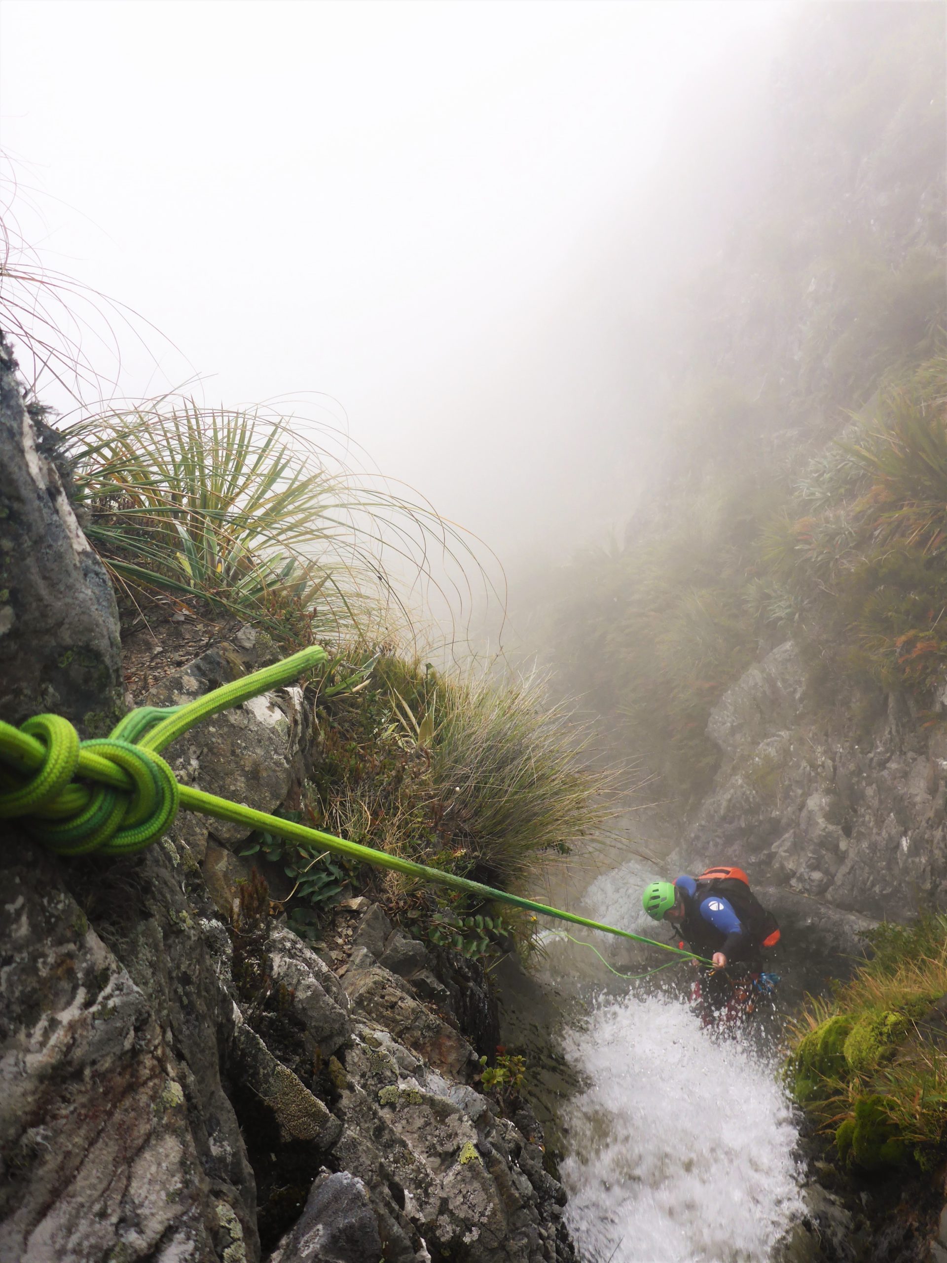
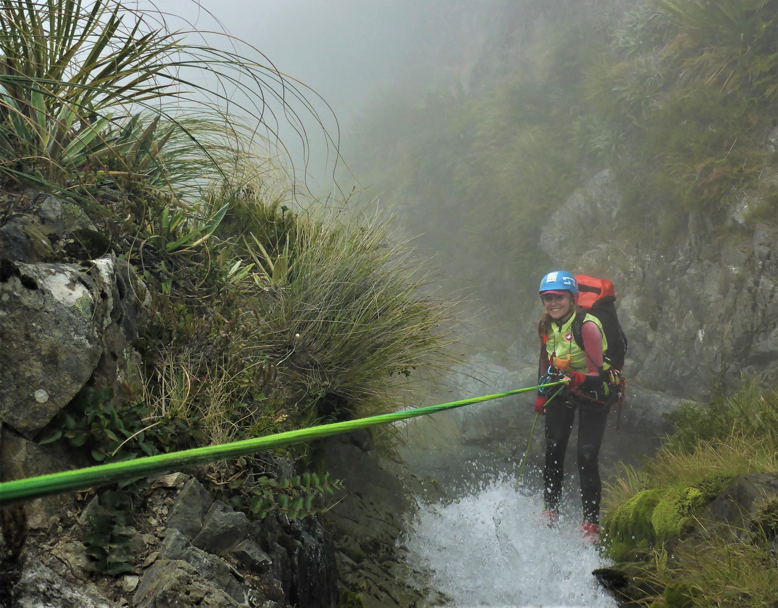
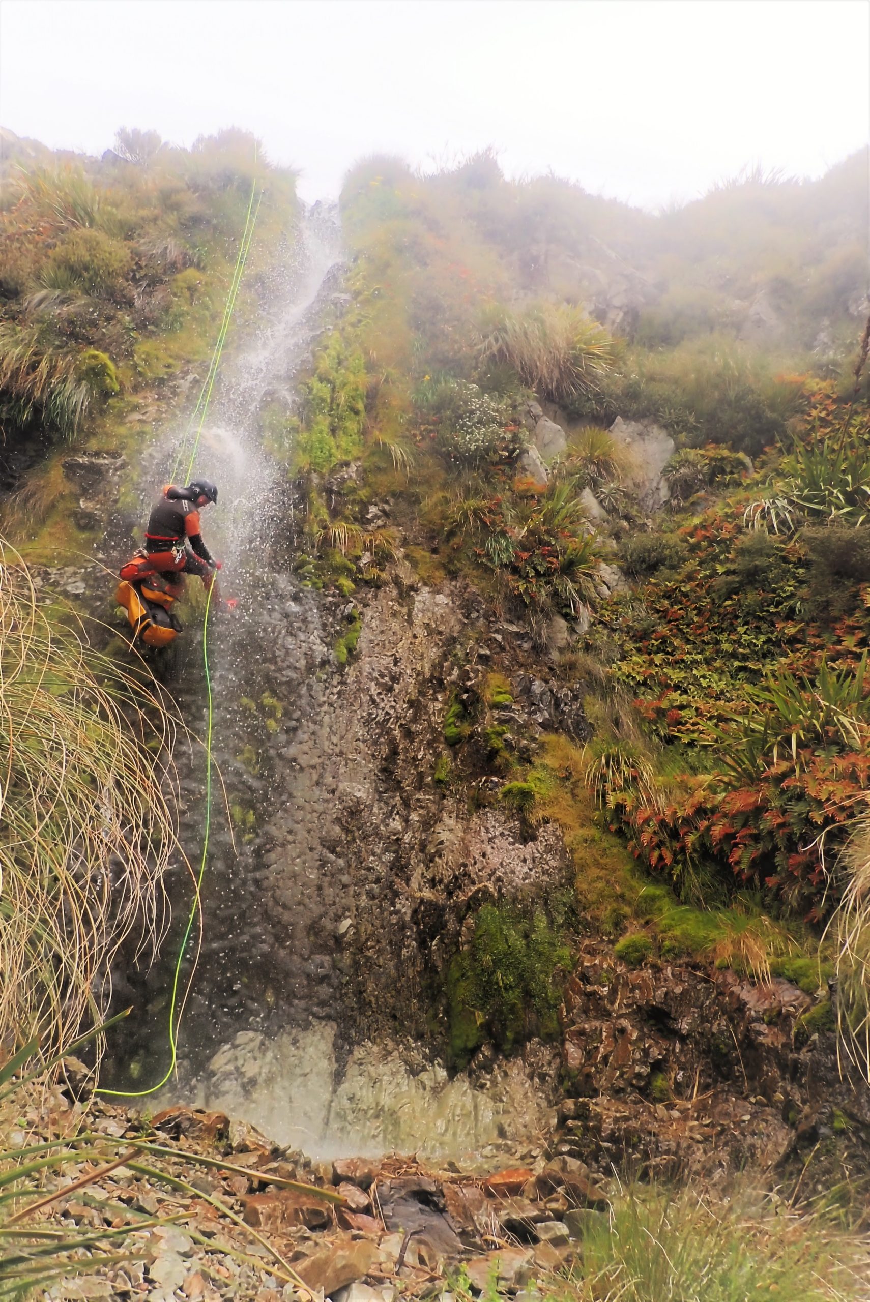
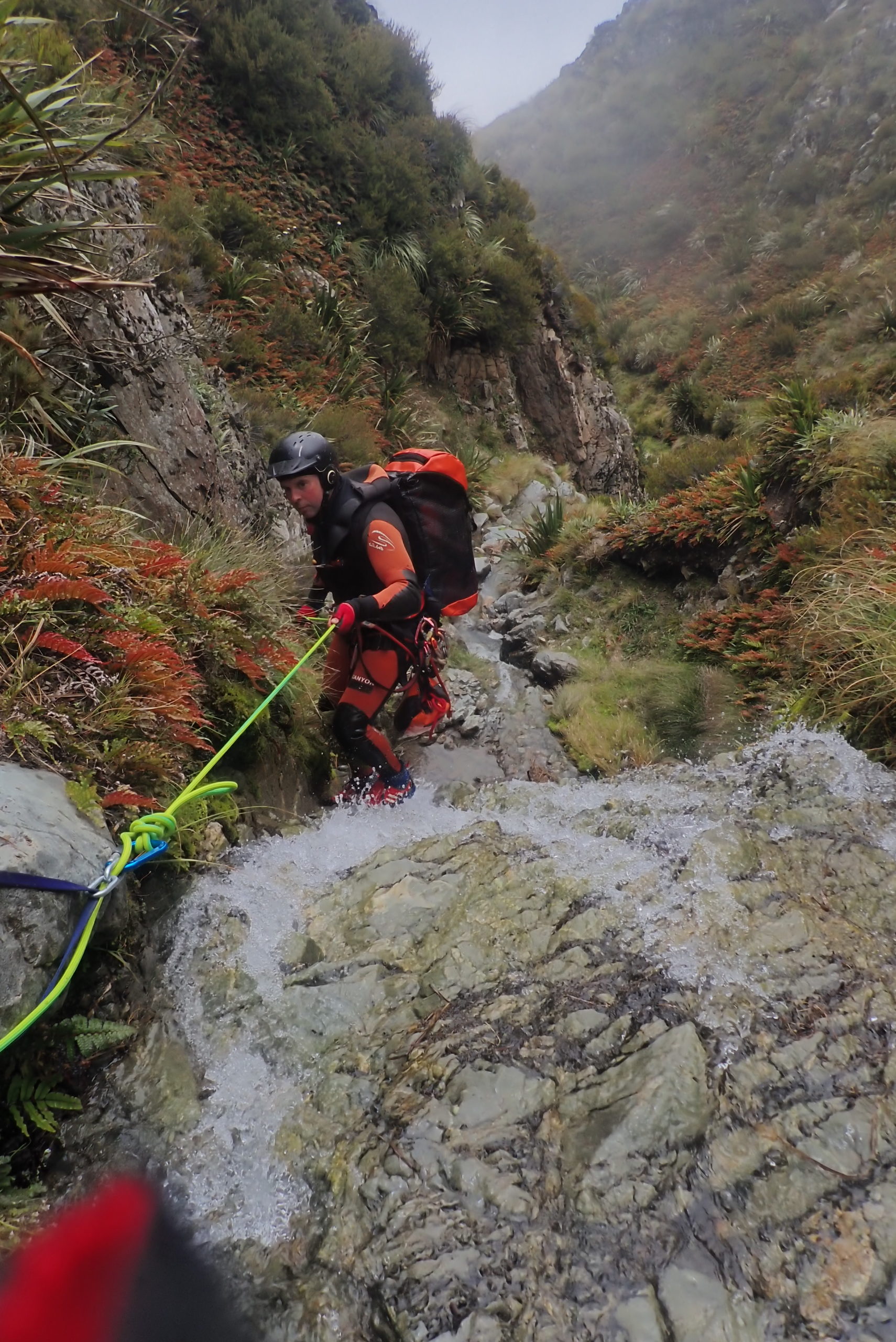
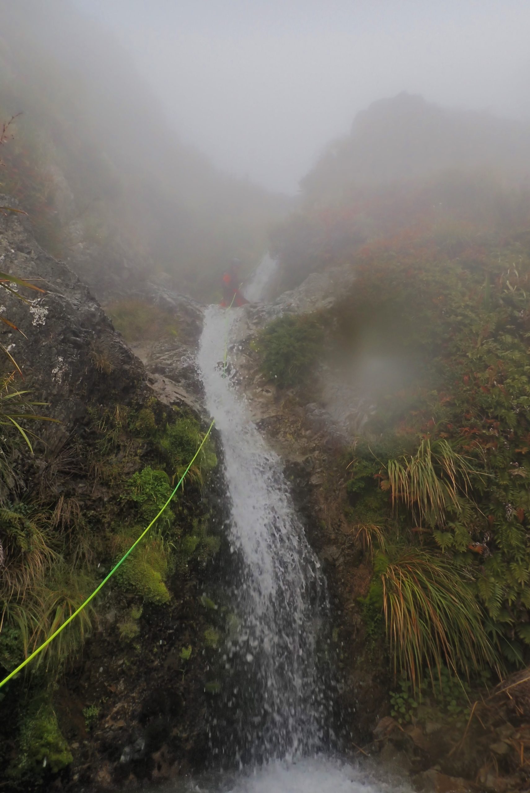
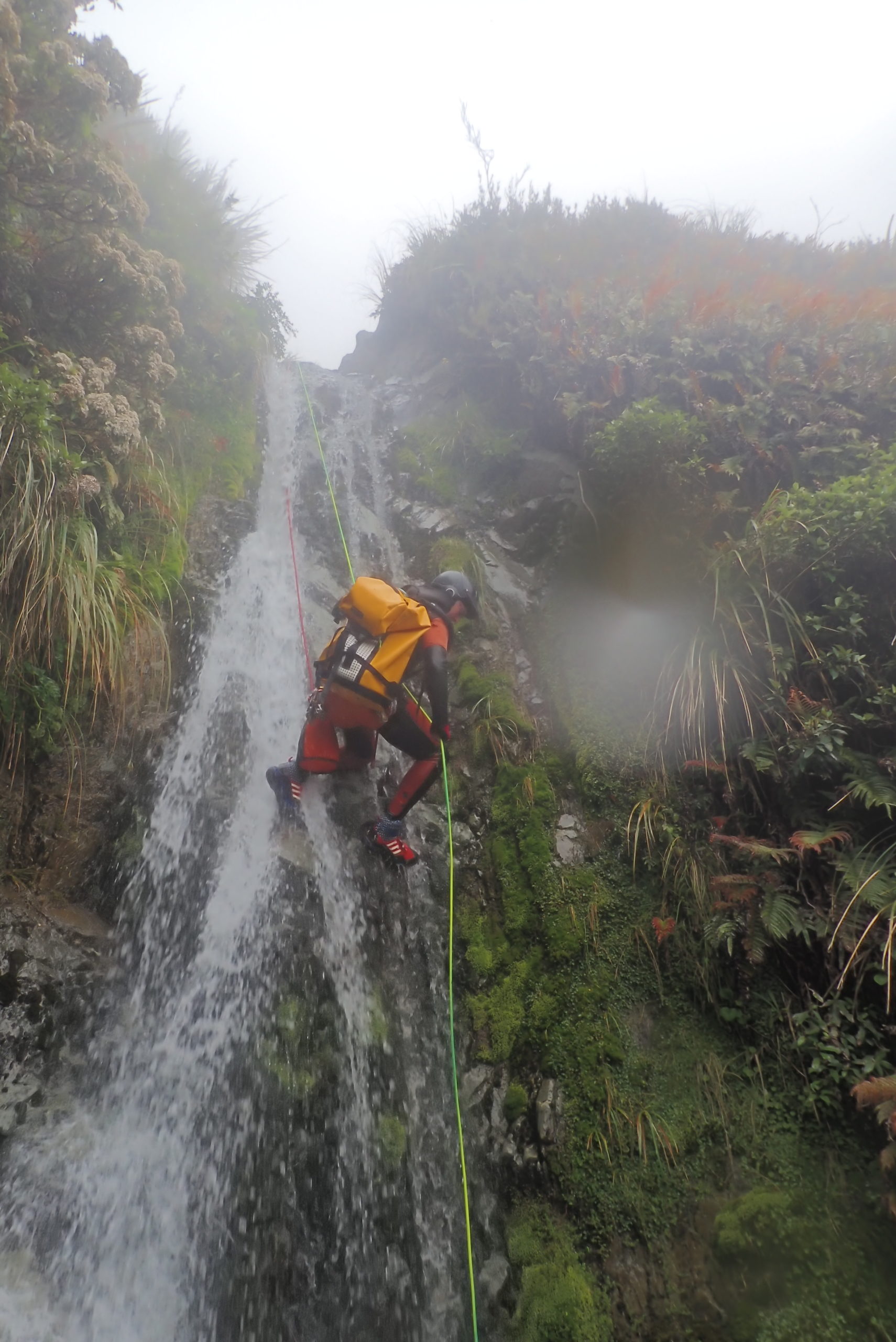
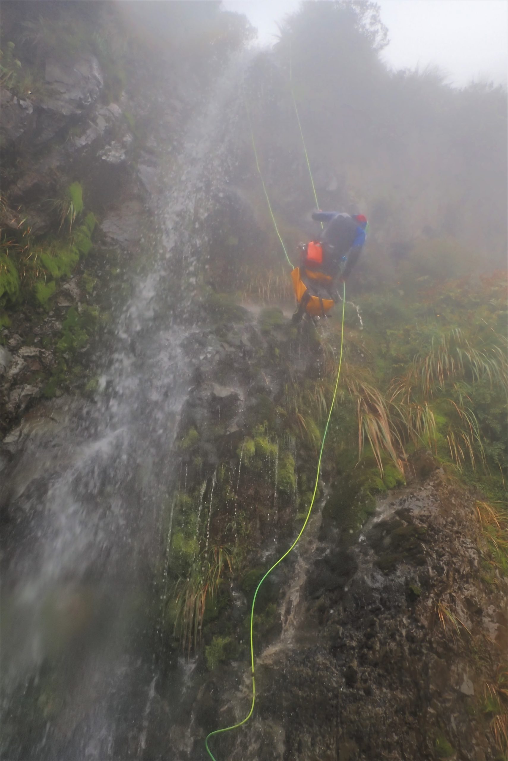
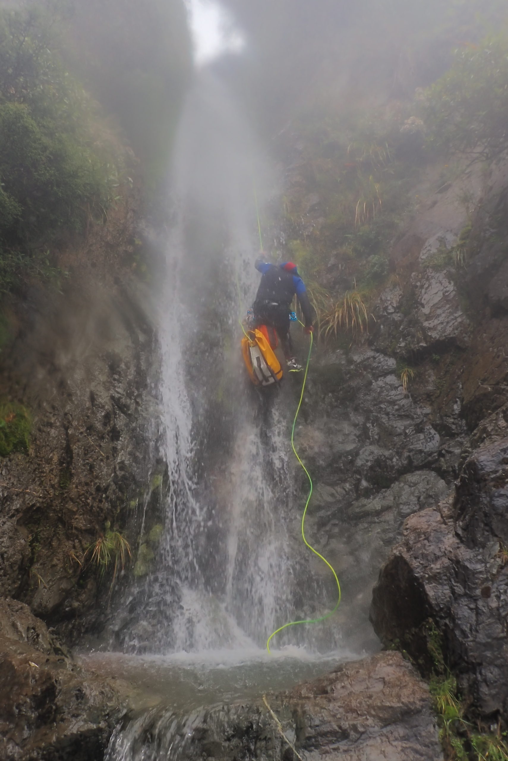
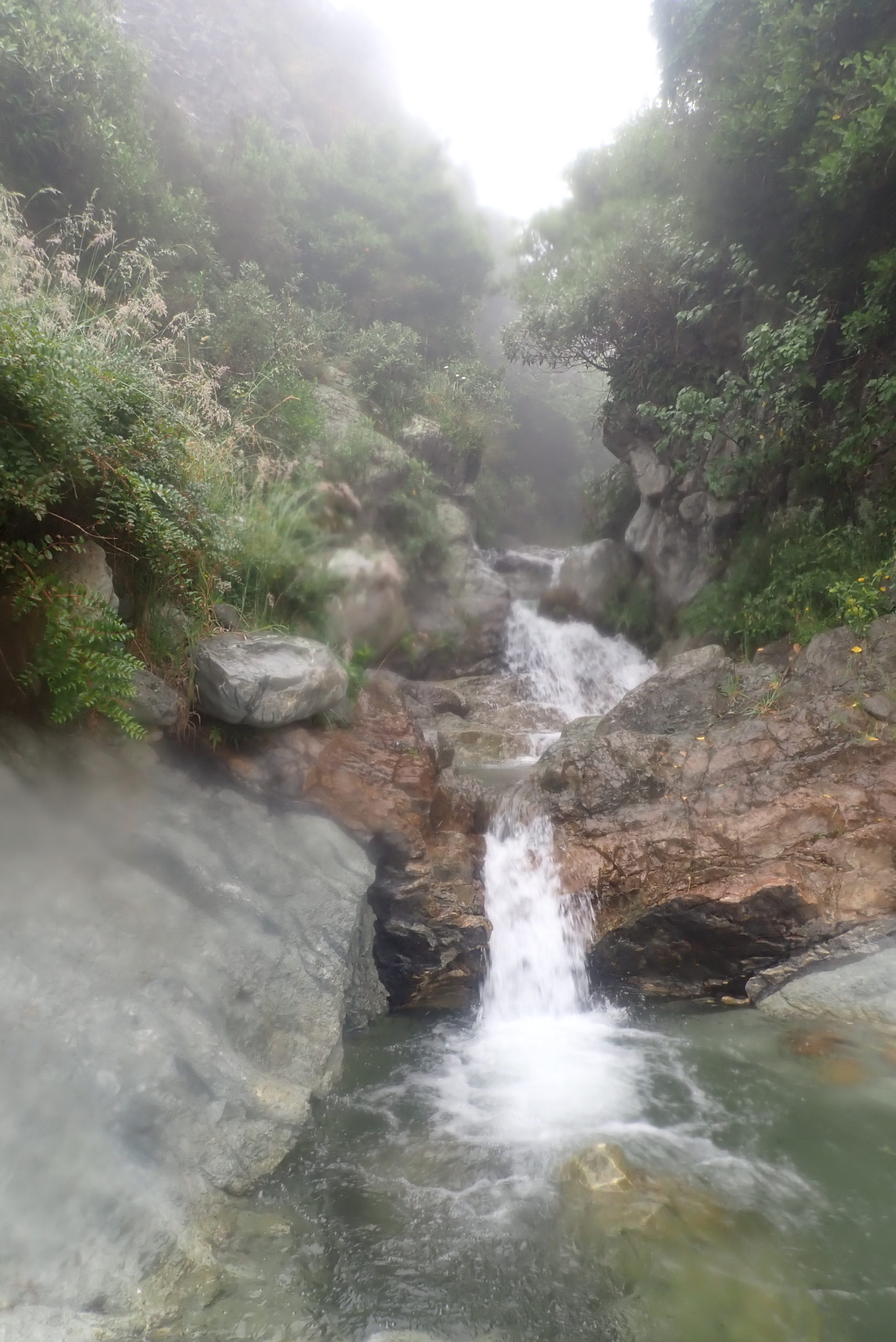
| Character: | We lost count of the endless small waterfalls, [>25] and descended in the mist with no visibility whatsoever. A couple of the top drops are bolted then it was fast and dirty natural rigging to get down the creek! At the very end it appears quite canyonlike with slight steepening sides, but it is shortlived. |
| Start of the canyon (topomap link): | https://www.topomap.co.nz/NZTopoMap?v=2&ll=-43.80573,171.177893&z=14&pin=1 |
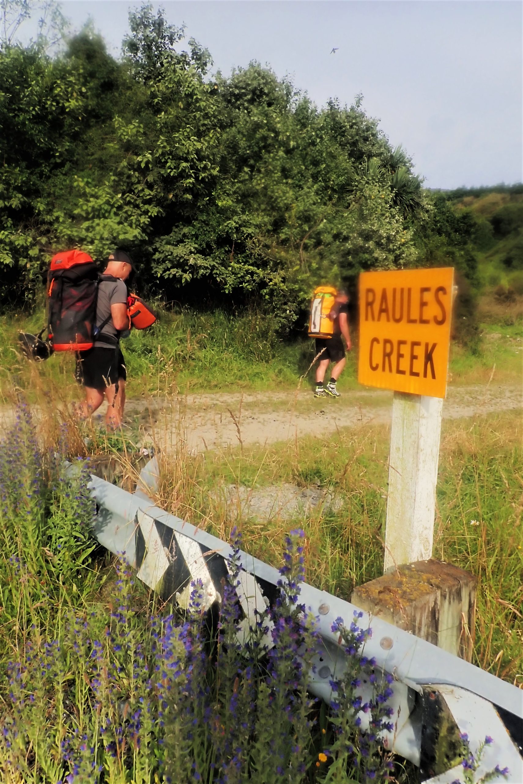
| Carpark (google maps link): | https://goo.gl/maps/Nc9a1ZwN8TYU8GsKA |
| Highest waterfall: | 30m |
| Suggested gear: | 2x 40m |
| Canyon dimensions: | 700m vertical |
| Rock: | Greywacke |
| Anchors: | Top waterfalls are double bolts, remaining natural anchors with sling or no anchors |
| Approach time: | 3hrs |
| Descent time: | 4hrs |
| Back to your car time: | 10mins |
| Approach by car: | Easy to find, 10mins past Mt Peel village |
| Access: | Public access |
| Approach on foot: | Park by the bridge, access is via the Rawles Gully Track which has markers and then up the obvious fenceline to the top. Follow steep Rawle Gully track to the top of the hill where it flattens out and descend to the obvious gully. |
| Canyon descent description: | A little tricky to know, as with the exception of the top 2 rappels, everything else was descended with low to no visibility! Access to the get in has a lot of Wild Spaniards. A long descent with a handful only of rappels higher than 10m. Many drops we combined. We lost count of the number of smaller drops- too high to downclimb, but high enough to require an abseil. Or we chose to abseil as it was faster. |
| Committment/Escapes: | Possible to escape in many places. |
| Other notes: | On the topo map it is named Rawle, but the sign on the bridge says Raules…. You choose ;0) |
| First descent: | Grant Prattley, James Abbott, Nola Collie January 2022 |
KiwiCanyons.org
proudly supported by


Support this free, volunteer-run resource with a monthly contribution
Your contribution goes directly to Dan Clearwater, to support his time building and maintaining this resource.
Make a one-off donation


Was this info worth something to you?
Then support this free, volunteer-run resource with a monthly contribution
Or make a one-off donation
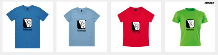
Or show others you support the site with our merch