


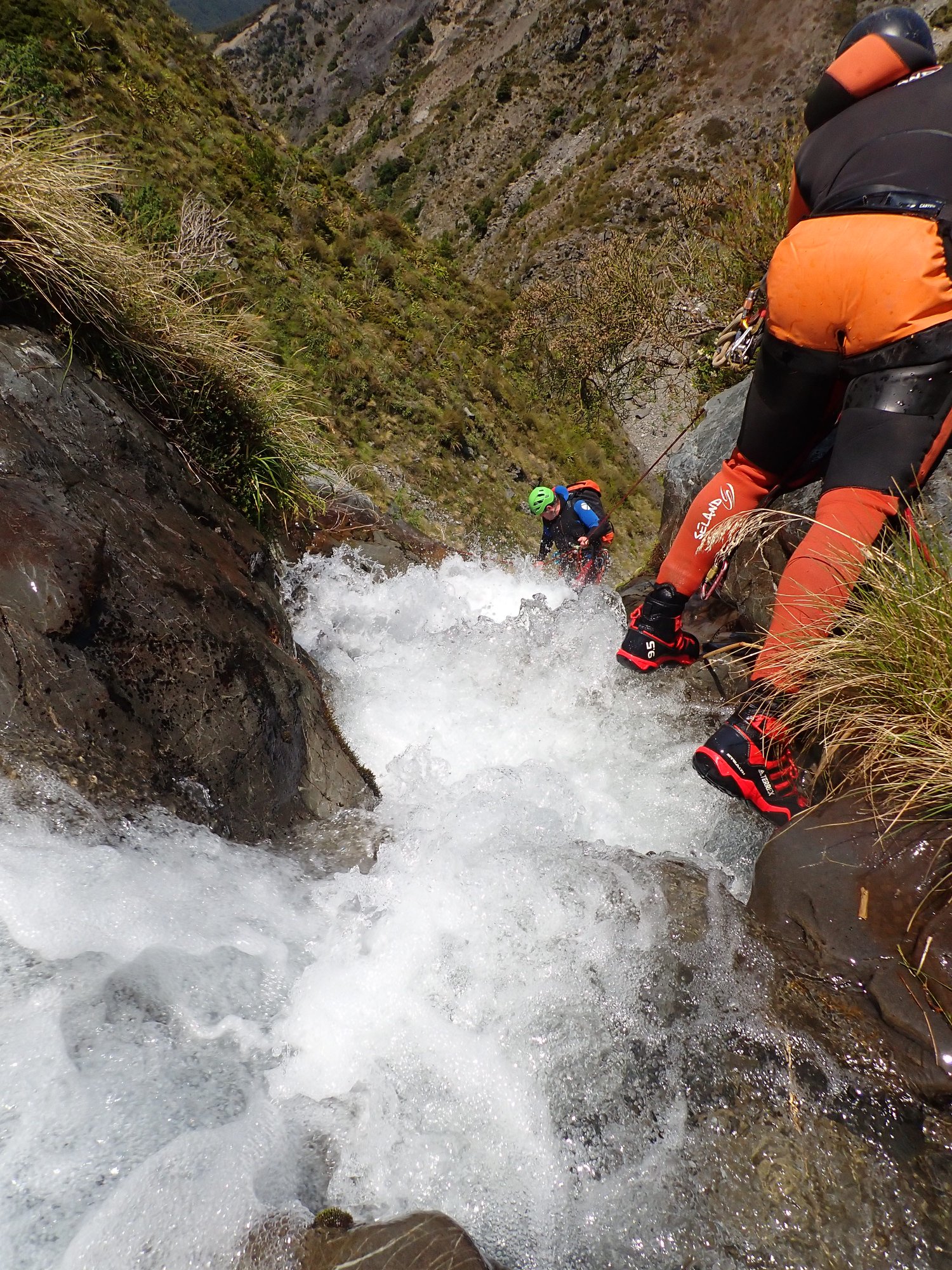
Max drop 35m
Public access
9hrs15min
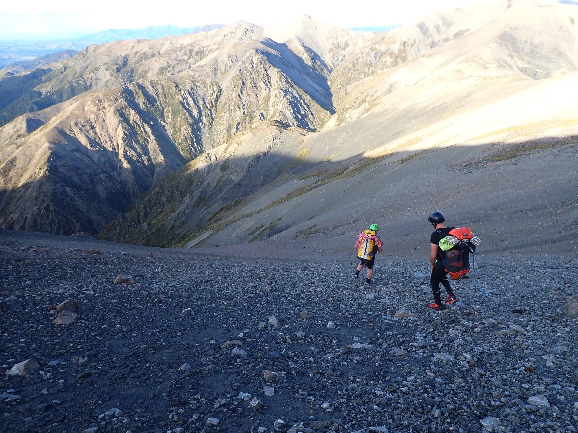
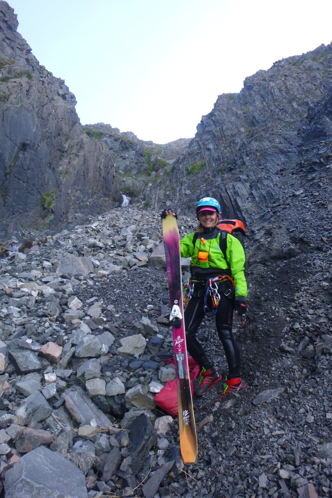
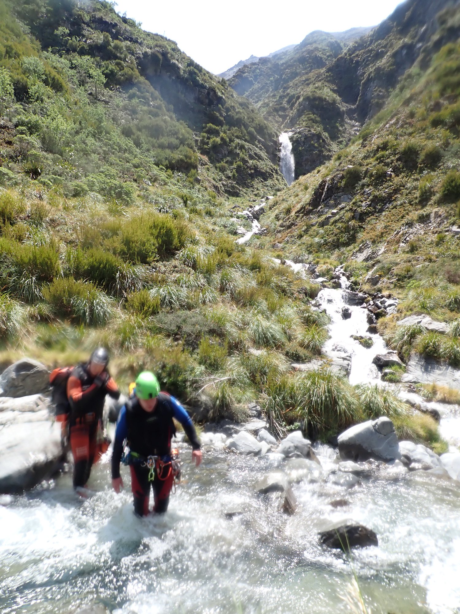
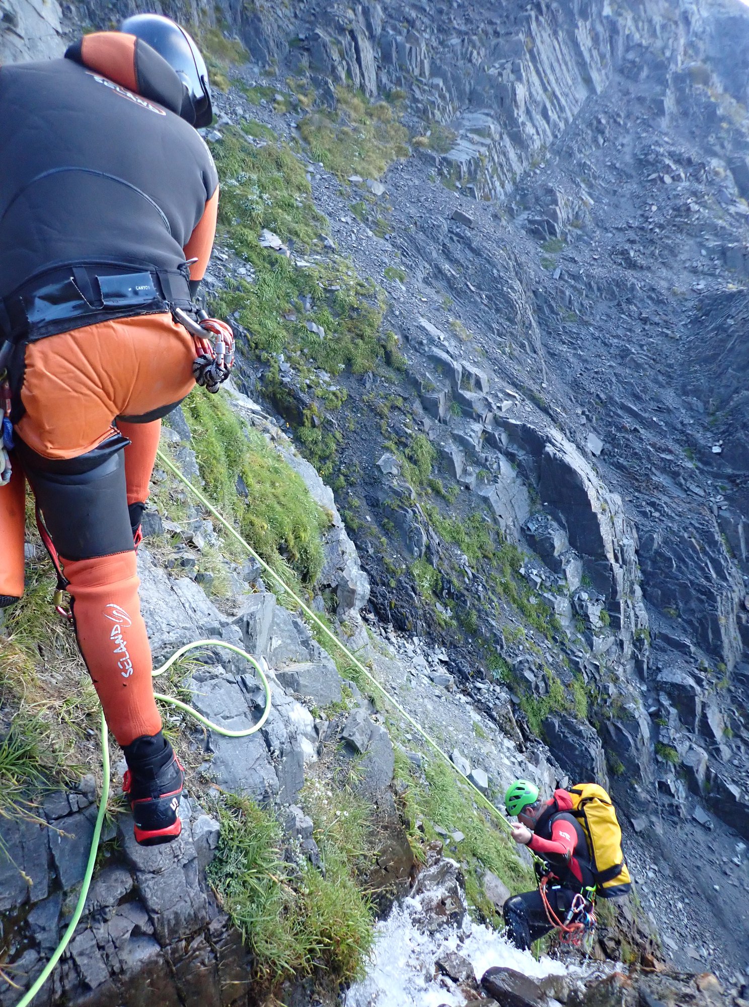
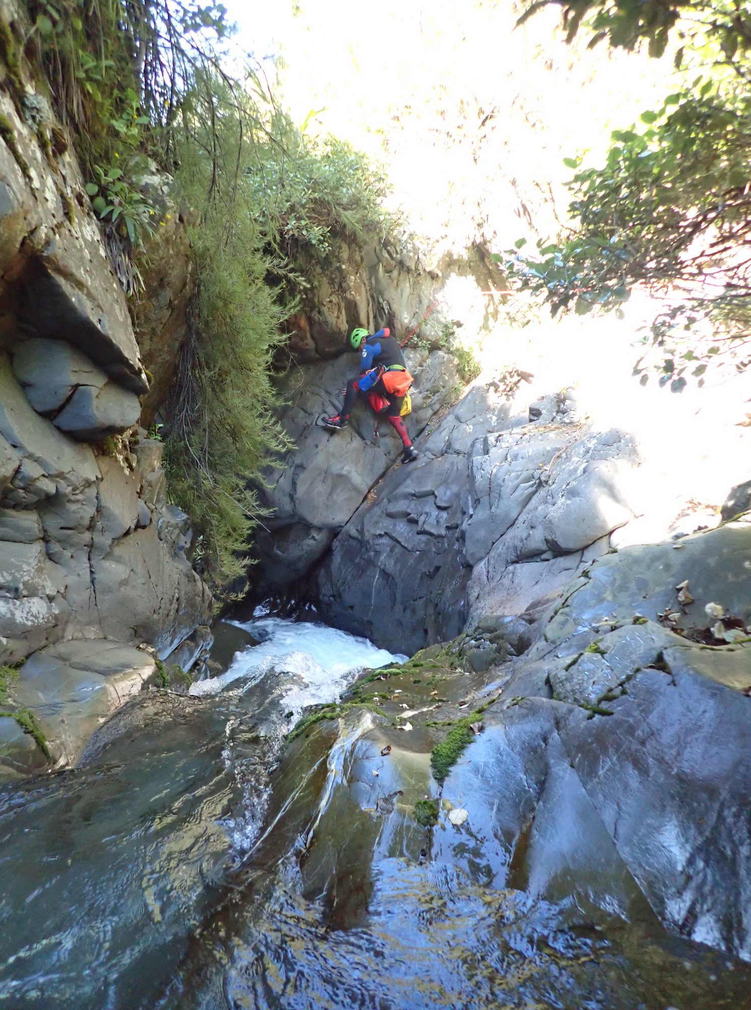
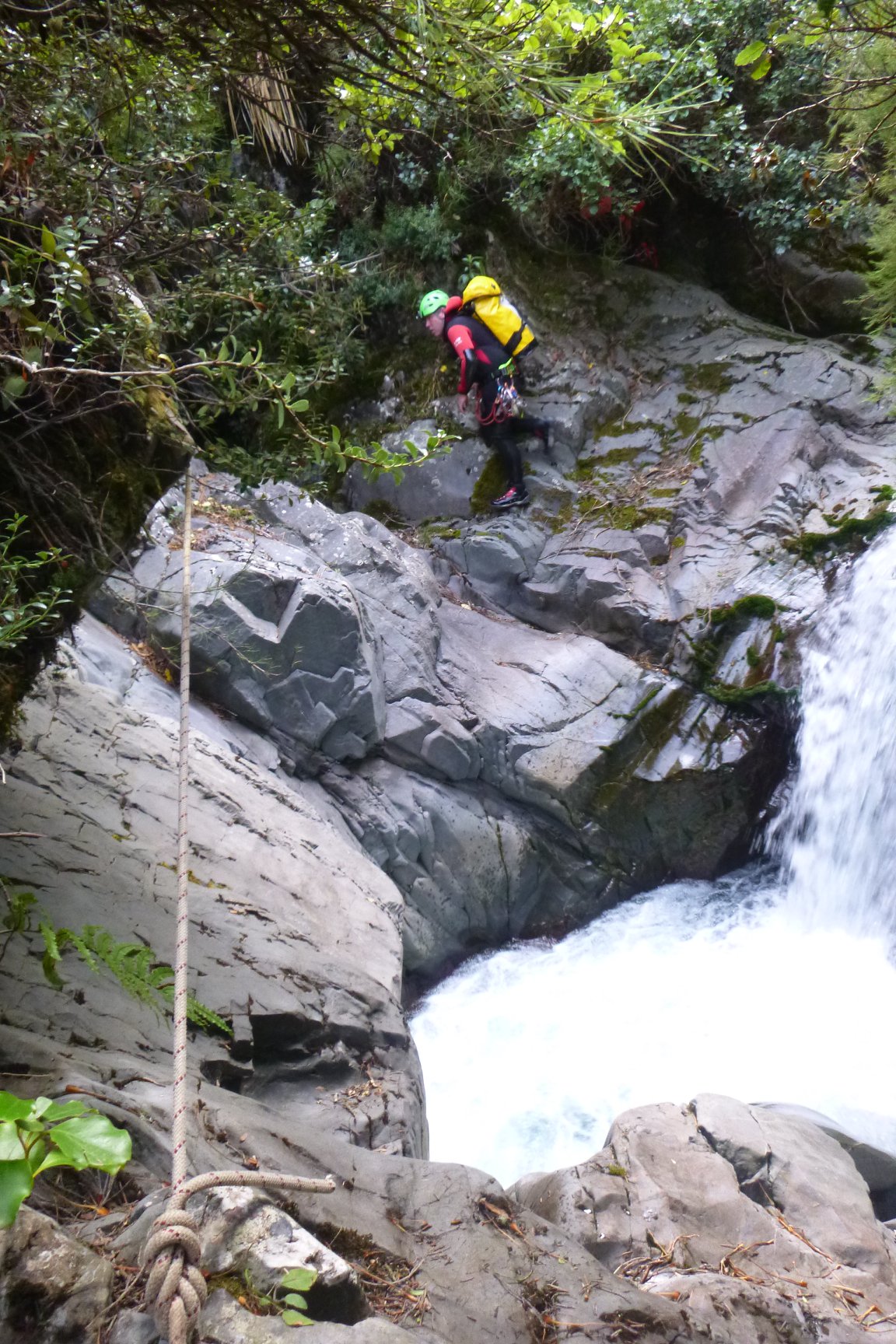
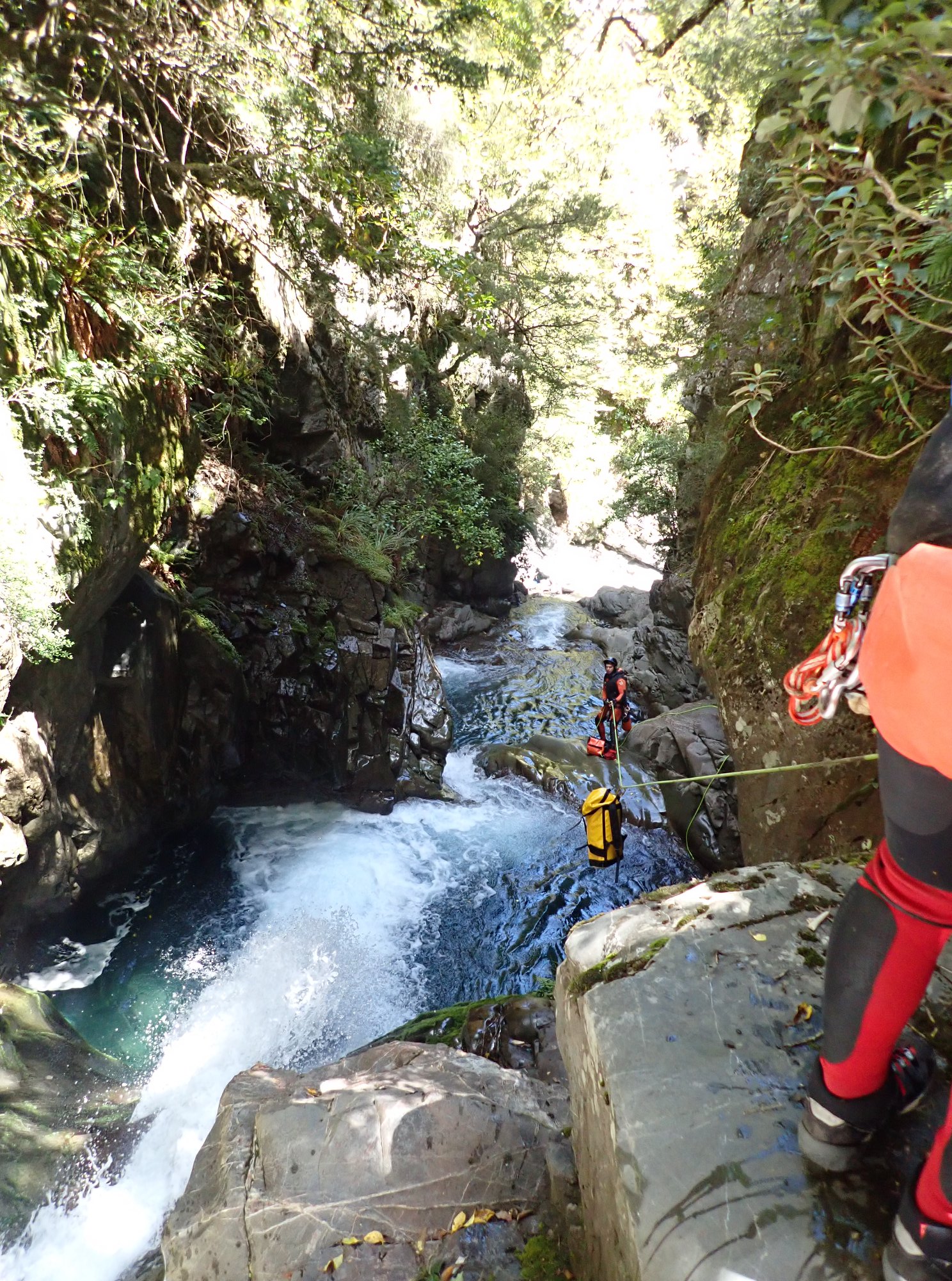
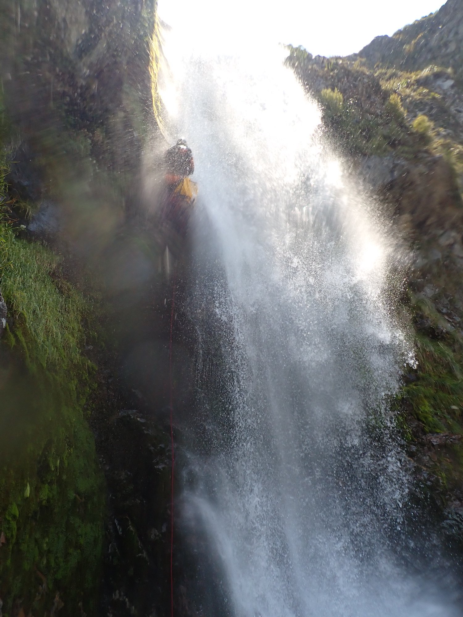
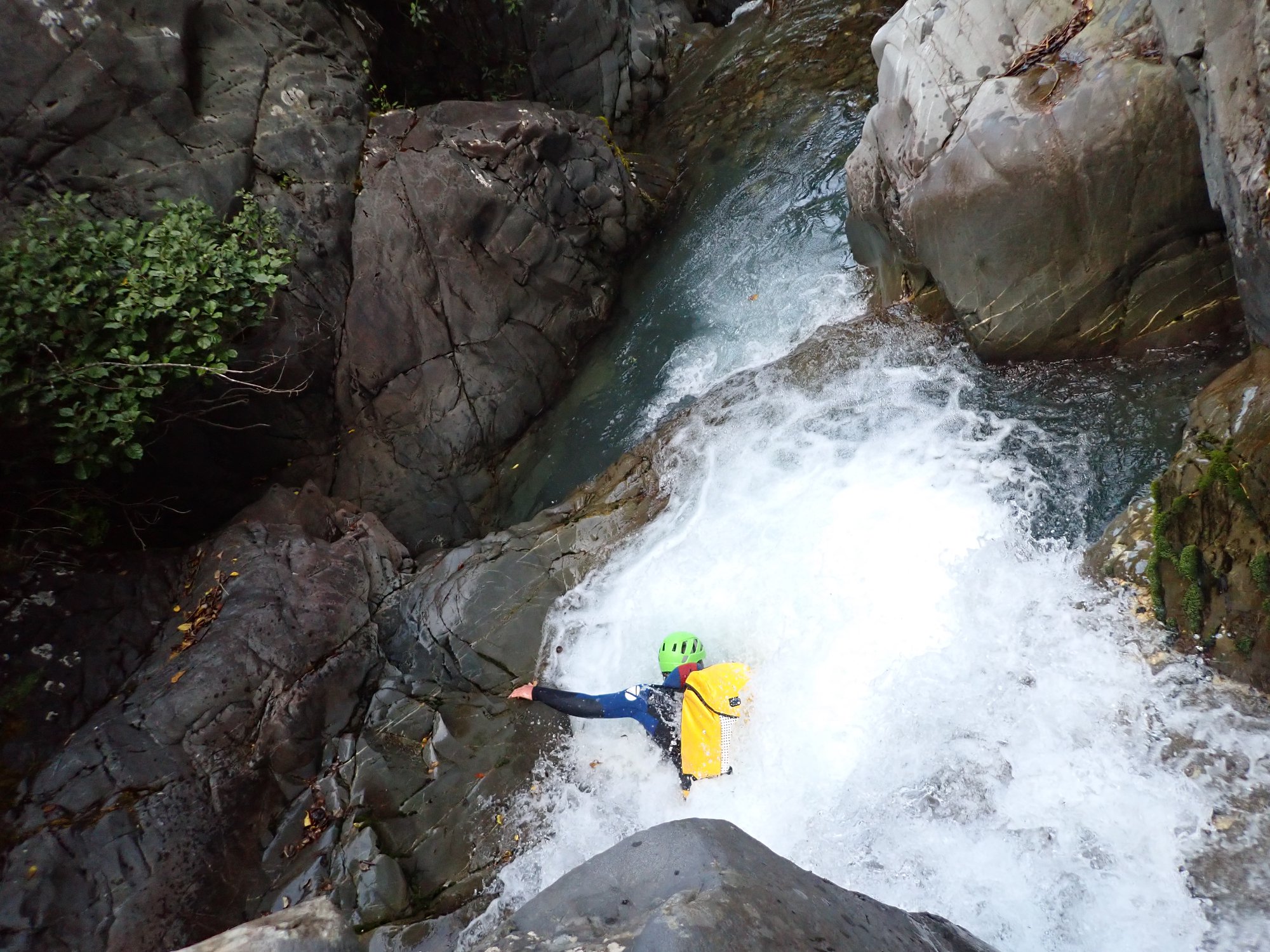
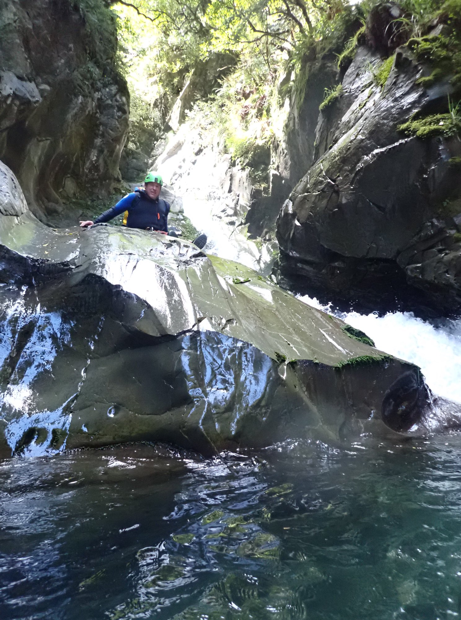
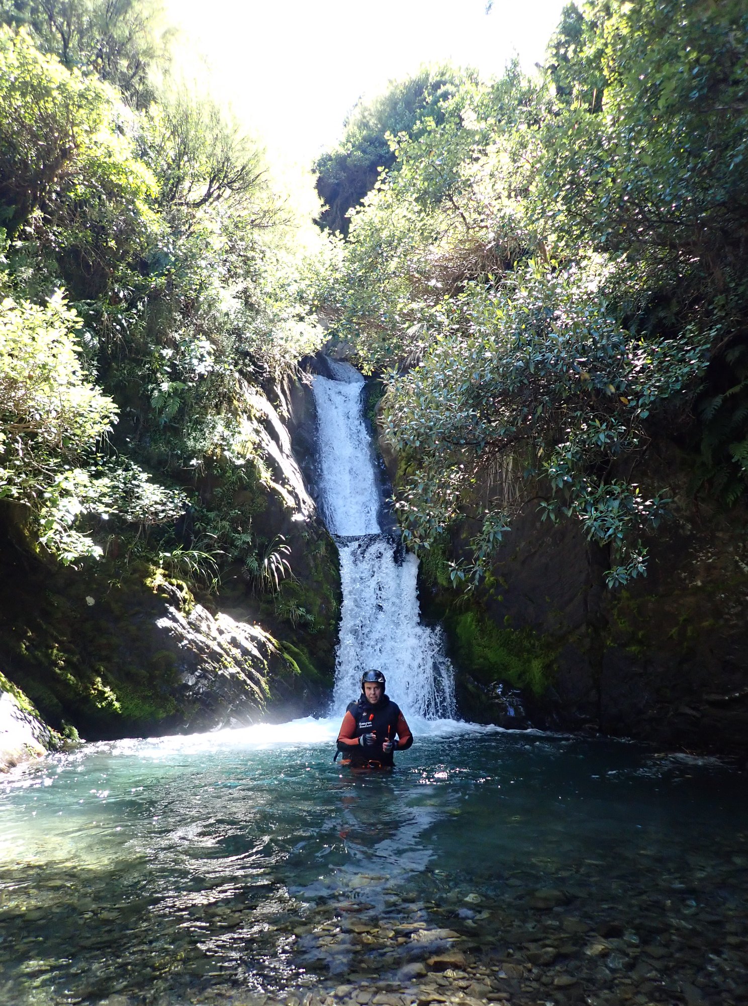
This canyon starts with abseiling below the South Face of Mt Hutt Ski Area in steep alpine terrain and transitions to a lower angle, incised bedrock canyon with moderate water flow with multiple jumps, slides and abseils into beautiful potholes. A big day out but well worth the effort.
Public access to the Hakatere Conservation Park. However, using the ski field road and accessing the field to begin the descent may be restricted by the ski field operator if they are doing works/maintenance on the road/field.
Lower gorge section explored (by ascent from below) by Grant Prattley and Dan Clearwater 22 December 2009. First full descent James Abbott, Nola Collie and Grant Prattley March 2020.
Download Pudding Hill Stream topo here
The first descent since May 2021 floods (which had around 700mm in 36hrs). One set of bolts was damaged; put a threaded anchor in instead. All sling on the anchors were replaced as it was two years old. Overall, the anchors are in good condition.
The riverbed travel has changed quite a bit, but not easier or harder. The pudding hill gauge was at 1 cumec and the water level was moderate to high—great canyon for an experienced team.