


As of August 2025, this canyon has not yet had a full descent
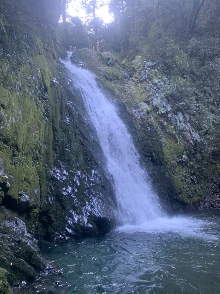
Max drop 27m
A long approach means that its likely to require 1 to 2 nights for the full round trip.
Chauffeur Canyon is the name given by the first canyoning explorers, to a section of Te Tanae Rangiharakeke Stream in the Kaweka Forest, Central North Island.
First canyoning explorations, July 2025, Olly Dow et al.
Good potential for a regionally significant canyon.
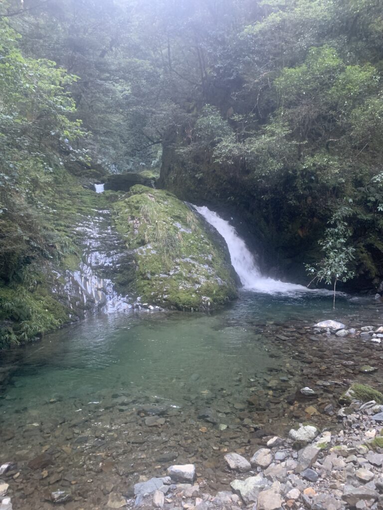
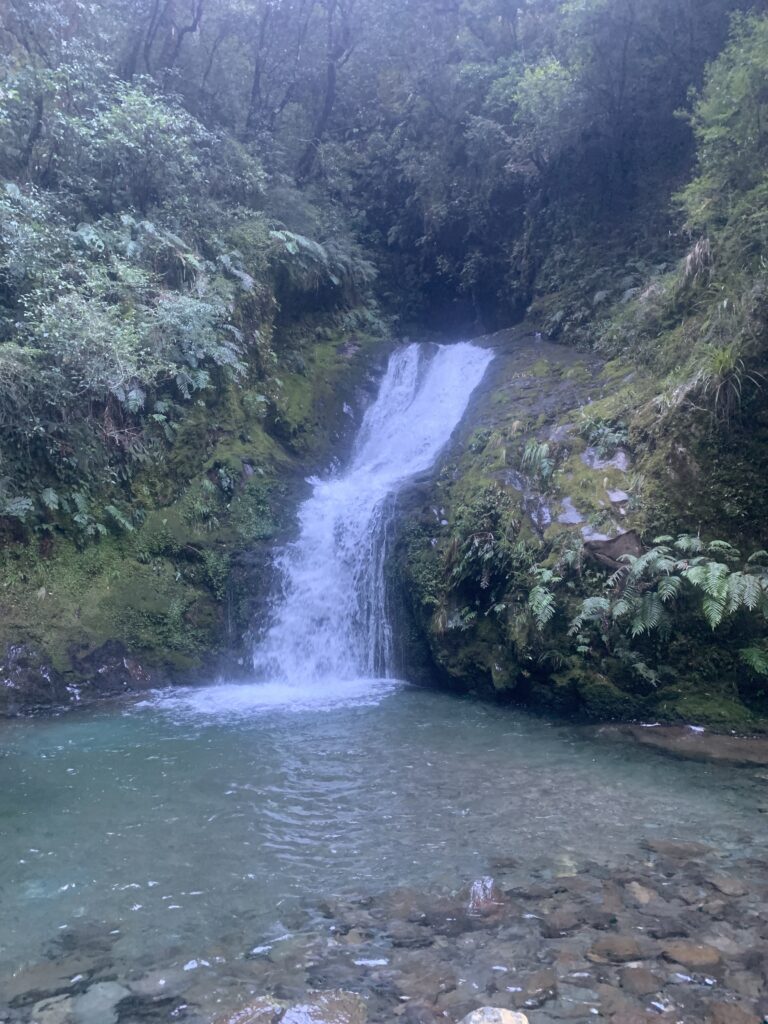
Slotted greywacke with medium to large pitch potential, jumps and slides. Only the last 3 drops have been descended, but there appears to be good potential for a regionally significant (2 star) canyon when it is fully explored.
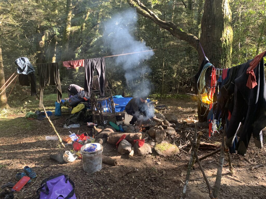
Could well become a great weekend adventure for a fit group with a night on either side at the “Truck Stop” (Otorehinaite confluence camp)
Access
From Taupō, head towards Napier on SH5. After about 20min turn off onto Taharua Rd (Signs for “Helisika”) . Continue to the end of the road, where youll see a big gate and DOC signs. Park in the DOC carpark by the long drop.
Heliskia (helicopter operators) apparently can fly you to Paimai Stream / Jap Creek – enquire directly with the operator for details.
“Follow the marked route across Poronui Station (private land) for 10km till you cross a stile into the forest park.
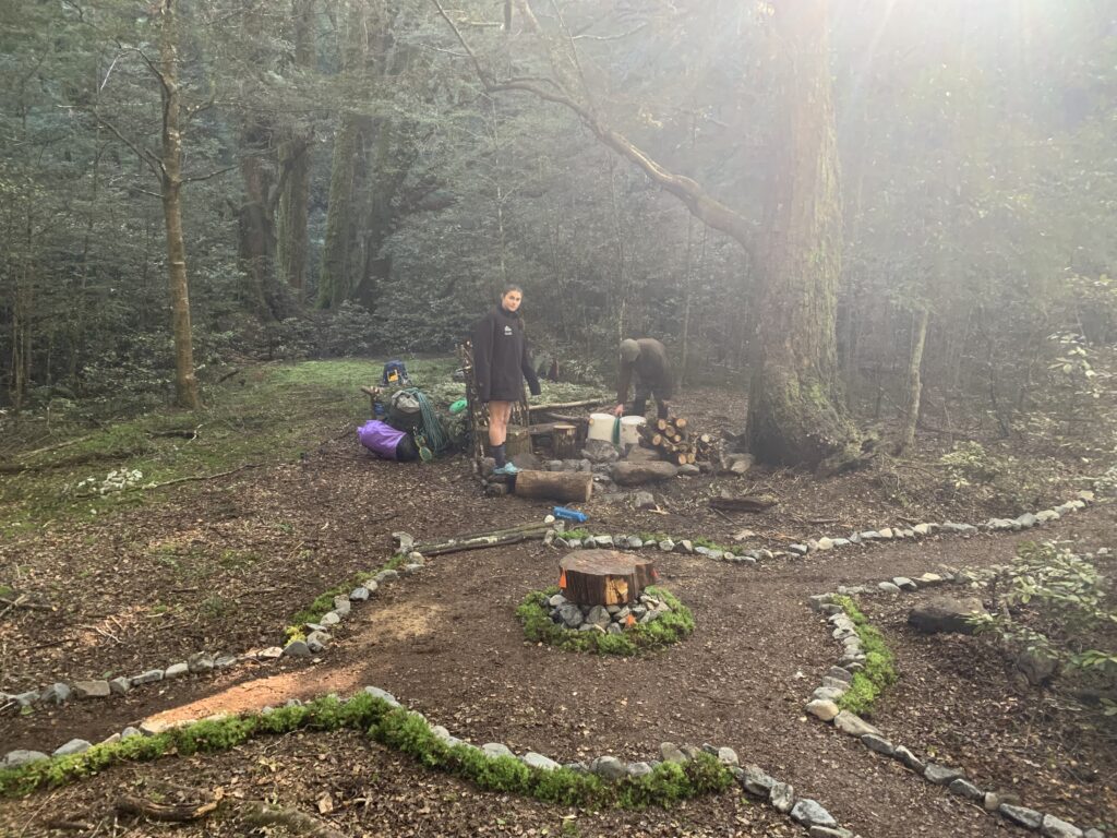
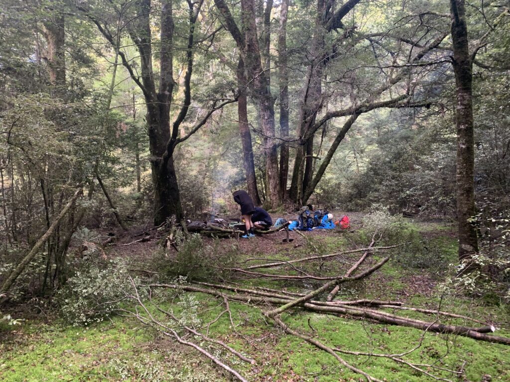
After 2 km more, you’ll reach Oamaru Hut (12 bunks). Carry on up the Oamaru Valley towards Boyd Hut for 6km to the “Truck Stop” camp just beyond the Otorehinaiti River confluence. The Truck Stop camp has a raised sleeping platform for 4, a fire pit, a good rope skills training branch, and easy access to the river and track (both within 5 minutes).
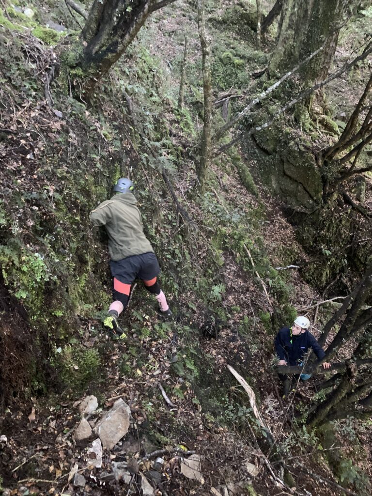
From the Truck Stop, continue up river on the track till you reach Te Tanae Rangiharakeke Stream. Travel up the stream on TR until you get pushed into the riverbed. Then follow up to the bottom fall and look TR to find a pink ribbon track.
NOTE: this track leads to approximately the 820m contour, above the last 3 pitches. If you’re aiming to explore the whole canyon then you’ll need to find your own way in. The bush is generally very nice and open beech, but riddled with terraces which can make travel more difficult.”
Descent
Olly and his team only explored from the 820m contour: there’s much more undescended upstream.
Lower section (below the 820m contour)
“The lower section is super straightforward. You can completely skip R1(4m) and walk round the TL to the R2 anchor. R2 (27m) is a dry rappel TL of flow, again very straightforward. Pool is only waist deep at landing so easy to bottom belay and to stay fairly dry.”
Thoughts on the upper section
“We spent two seperate days up here (staying at the truck stop) trying to at least map what was above. We carried a bolting kit but only enough to get us out of trouble and not enough to actually bolt the full canyon. On the topo is what we could see by scrambling along the rim. Its very steep and gorgy which made it very difficult to figure out what was above. However based on the Topo50, there is a 76m fall above everything on the canyon topo hence why this has a good amount of potiental.
Commitment in the lower section that we descended was low. Easy escapes, steep but straightforward. Despite this, the Upper section is completely different, quite slotted and would be higher commitment and difficult or even impossible escapes. “